Transport Functions
Multimodal
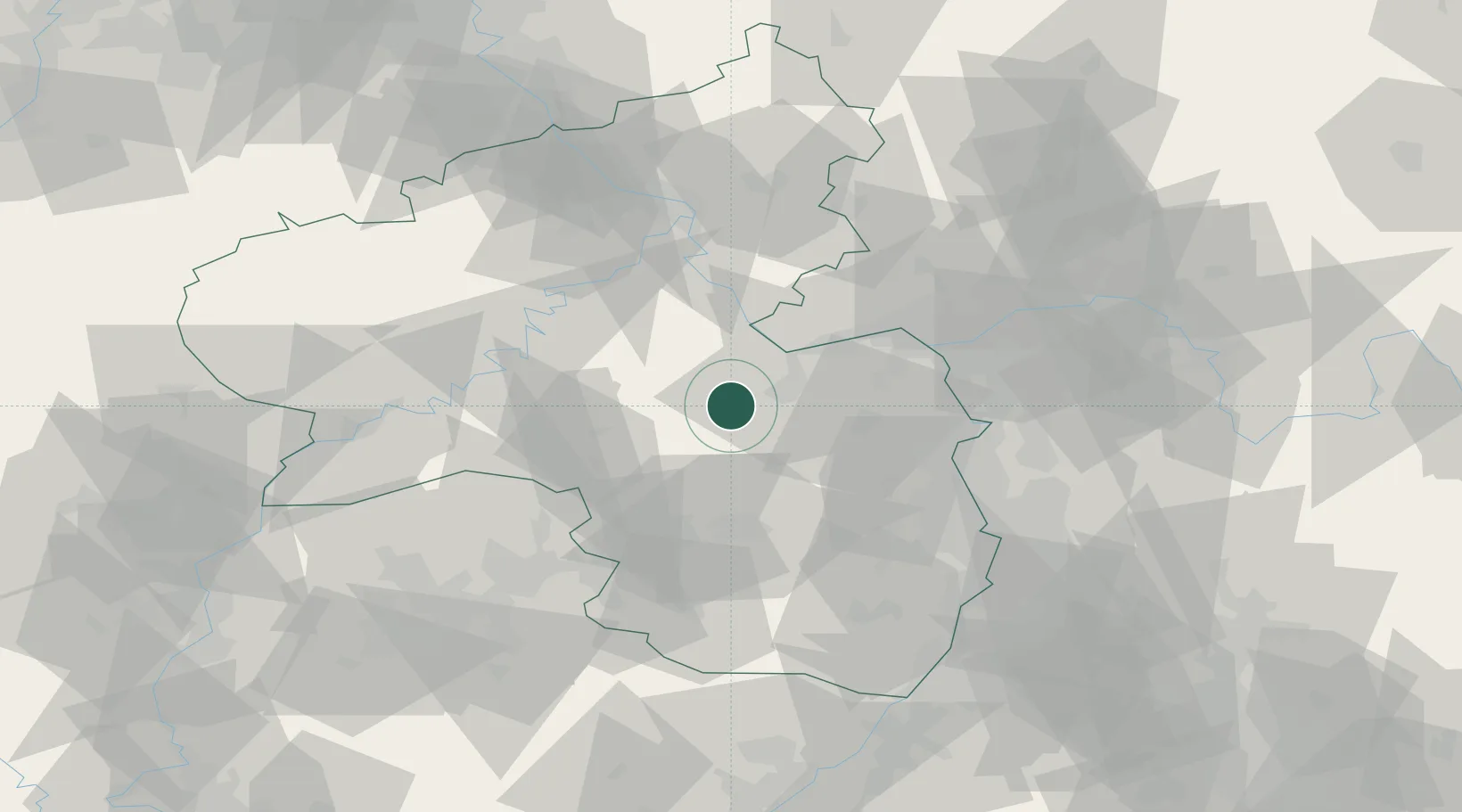
Hub Profile
Place type
Local administrative seat
Region
Rheinland-Pfalz
Population
2,333
Time zone
Europe/Berlin
Elevation
194 m
Location
Nearby Logistics Neighbours
Cities
- 1Oberhausen an der Nahe4 km
- 2Sobernheim7 km
- 3Bad Sobernheim7 km
- 4Rüdesheim8 km
- 5Spabrücken9 km
Airports
- 1Mainz-Finthen Airfield35 km
- 2Frankfurt-Hahn Airport36 km
- 3Ramstein Air Base43 km
- 4Wiesbaden Army Airfield51 km
- 5Büchel Air Base61 km
Trade Zones
- 1ZFU La Cité Behren-lès-Forbach92 km
- 2Luxembourg Free Port109 km
- 3ZFU Woippy-Metz135 km
- 4ZFU Hautepierre136 km
- 5ZFU Metz138 km
DatabookThe Record of Consolidated Knowledge
Germany beyond logistics?