UN/LOCODE hub · Germany
DEHWN

Hebertshausen

48.2833°, 11.4667°
5,121
Population
1
Transport functions

Transport Functions

Multimodal
UN/LOCODE

Hub Profile

Place type
Local administrative seat
GeoNames
Region
Bavaria
GeoNames
Population
5,121
GeoNames
Time zone
Europe/Berlin
GeoNames
Elevation
480 m
GeoNames

Location

Location of DEHWN
Natural Earth 10m (public domain) · Bavaria · DEHWN · 48.28, 11.47GoogleOSMYandex

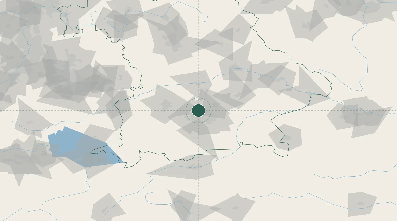
Nearby Logistics Neighbours

Cities
  1. 1Röhrmoos6 km
  2. 2Vierkirchen9 km
  3. 3Allach9 km
  4. 4Hollern10 km
  5. 5Gröbenzell12 km
Nearest neighbours — logibook spatial index (haversine) over the source coordinates
Ports
  1. 1Nogaro309 km
  2. 2Grado319 km
  3. 3Monfalcone320 km
  4. 4Porto Di Lido-Venezia327 km
  5. 5Trieste340 km
Nearest neighbours — logibook spatial index (haversine) over the source coordinates
Airports
  1. 1Altstetten Ultralight Field14 km
  2. 2Munich Airport25 km
  3. 3Oberpfaffenhofen Airport26 km
  4. 4Augsburg Airport43 km
  5. 5Lechfeld Air Base46 km
Nearest neighbours — logibook spatial index (haversine) over the source coordinates
Trade Zones
  1. 1Freeport of Deggendorf123 km
  2. 2Livigno Free Trade Zone220 km
  3. 3Podbořany Industrial Zone258 km
  4. 4ZFU Neuhof275 km
  5. 5Žatec - Triangle Strategic Industrial Zone278 km
Nearest neighbours — logibook spatial index (haversine) over the source coordinates
DatabookThe Record of Consolidated Knowledge
Germany beyond logistics?
Browse databook

All Sources

LocationsUN/LOCODE
UN/LOCODE — free
LocationsGeoNames
CC BY 4.0
Portsthe NGA World Port Index
Public domain (US gov)
AirportsOurAirports
Public domain
Trade Zonesthe World Bank SEZ database
CC BY 4.0
Trade ZonesOpen Zone Map
CC BY
← Germany locations