Transport Functions
Rail
Road
Multimodal
Hub Profile
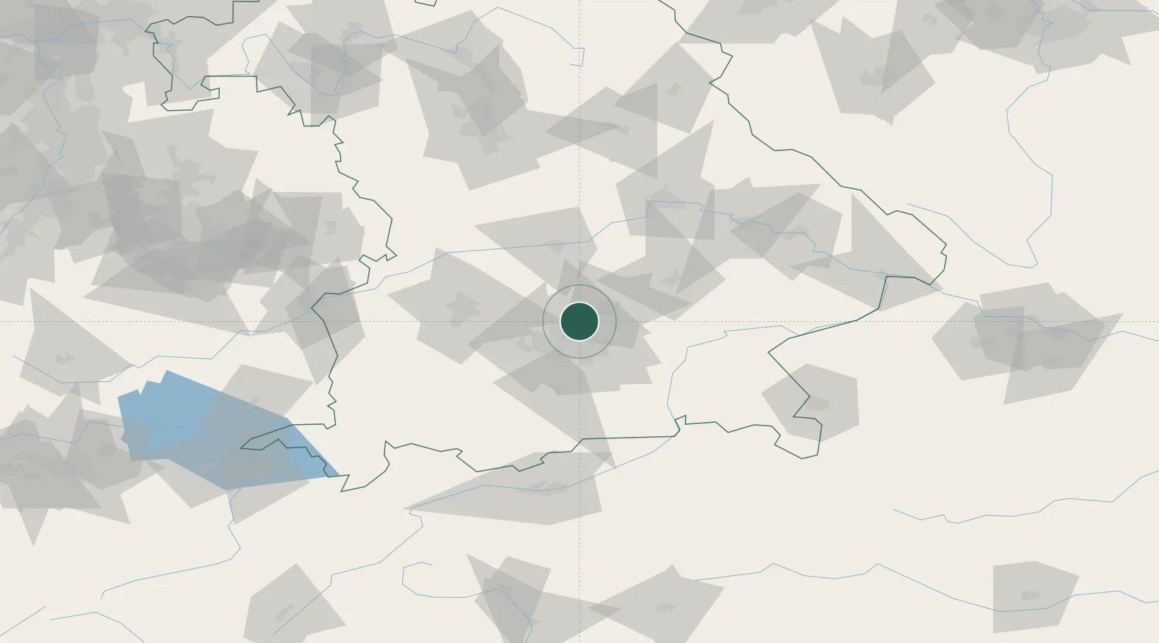
Place type
Populated place
Region
Bavaria
Time zone
Europe/Berlin
Elevation
470 m
Location
Nearby Logistics Neighbours
Cities
- 1Neufahrn bei Freising5 km
- 2Massenhausen6 km
- 3Röhrmoos9 km
- 4Hebertshausen10 km
- 5Kranzberg11 km
Ports
- 1Nogaro307 km
- 2Monfalcone316 km
- 3Grado317 km
- 4Porto Di Lido-Venezia327 km
- 5Trieste337 km
Airports
- 1Munich Airport15 km
- 2Altstetten Ultralight Field23 km
- 3Oberpfaffenhofen Airport34 km
- 4Landshut Airfield40 km
- 5Ingolstadt Manching Airport47 km
Trade Zones
- 1Freeport of Deggendorf114 km
- 2Livigno Free Trade Zone227 km
- 3Podbořany Industrial Zone251 km
- 4Žatec - Triangle Strategic Industrial Zone271 km
- 5ZFU Neuhof284 km
DatabookThe Record of Consolidated Knowledge
Germany beyond logistics?