Transport Functions
Multimodal
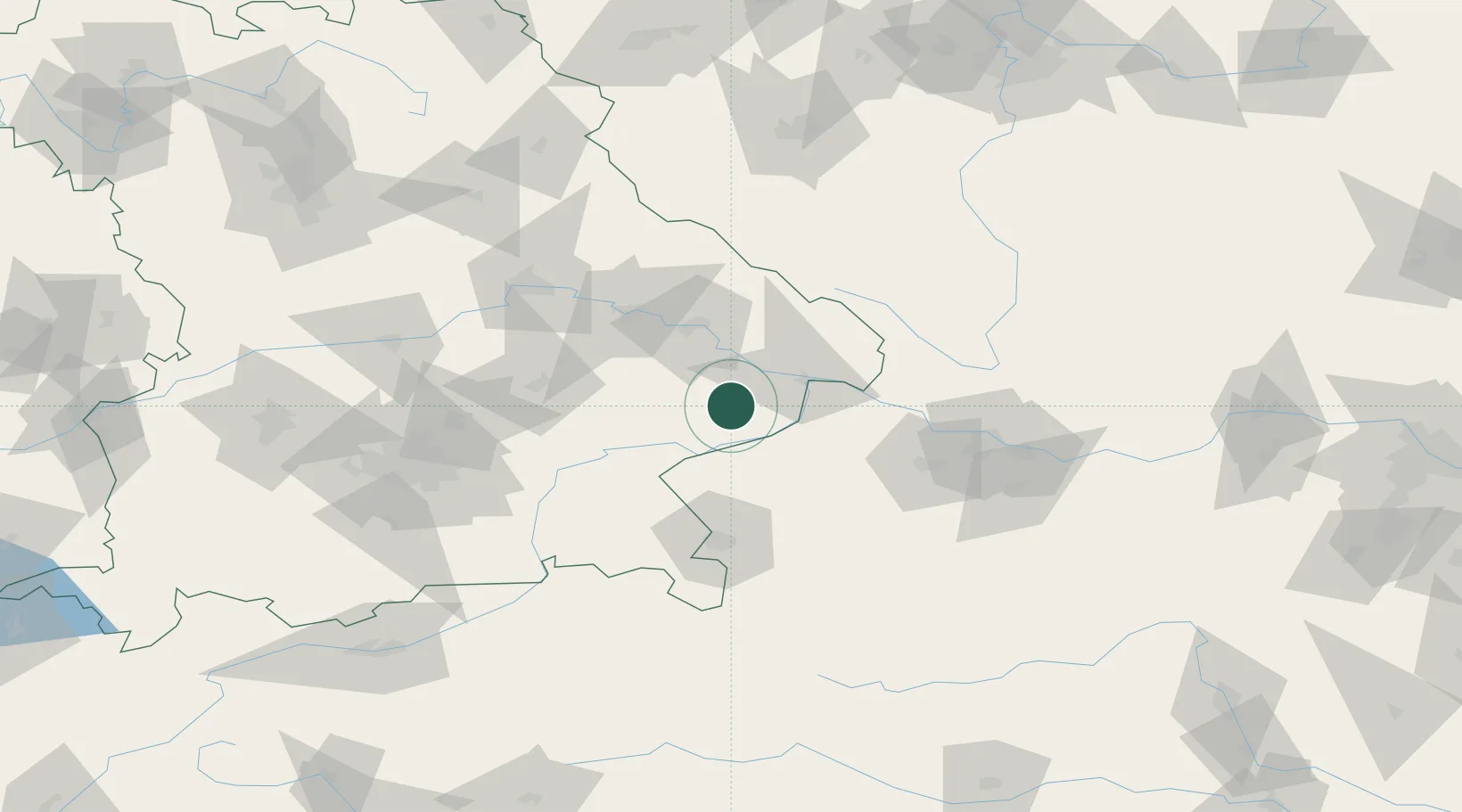
Hub Profile
Place type
Populated place
Region
Bavaria
Population
5,533
Time zone
Europe/Berlin
Elevation
376 m
Location
Nearby Logistics Neighbours
Cities
- 1Bayerbach7 km
- 2Rucking10 km
- 3Karpfham11 km
- 4Stubenberg15 km
- 5Ruhstorf an der Rott19 km
Ports
- 1Monfalcone299 km
- 2Nogaro299 km
- 3Grado307 km
- 4Trieste315 km
- 5Muggia321 km
Airports
- 1Salzburg Airport73 km
- 2Landshut Airfield78 km
- 3Linz-Hörsching Airport85 km
- 4Munich Airport96 km
- 5České Budějovice South Bohemian Airport113 km
Trade Zones
DatabookThe Record of Consolidated Knowledge
Germany beyond logistics?