Transport Functions
Rail
Road
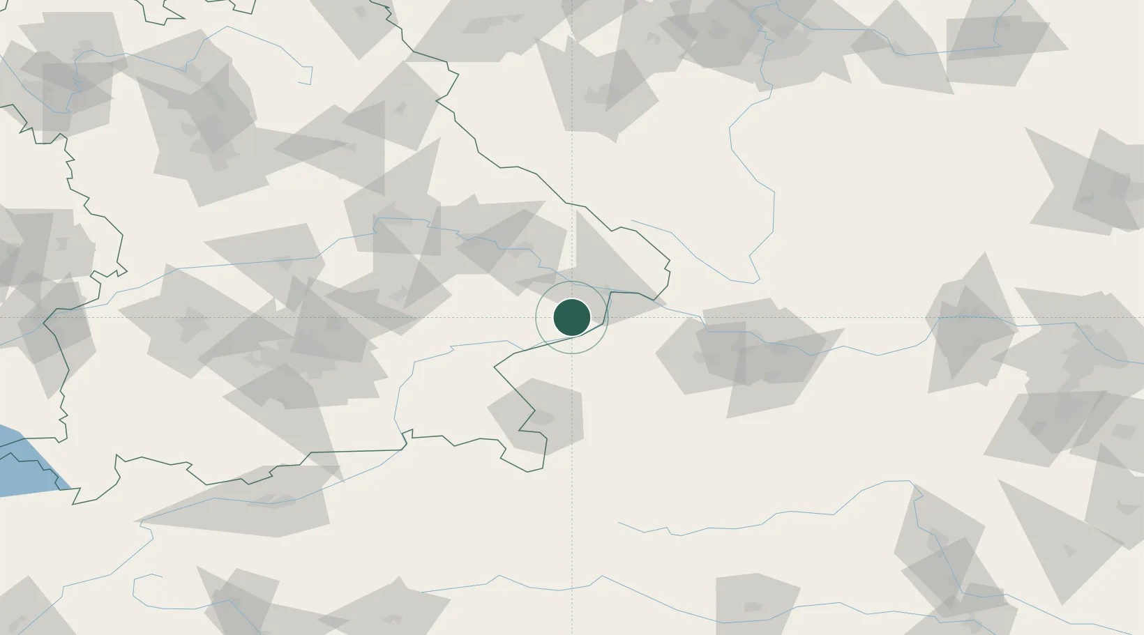
Hub Profile
Place type
Populated place
Region
Bavaria
Time zone
Europe/Berlin
Elevation
339 m
Location
Nearby Logistics Neighbours
Cities
- 1Rucking5 km
- 2Bayerbach6 km
- 3Ruhstorf an der Rott9 km
- 4Bad Birnbach11 km
- 5Mühlheim15 km
Ports
- 1Monfalcone294 km
- 2Nogaro296 km
- 3Grado303 km
- 4Trieste310 km
- 5Muggia316 km
Airports
- 1Salzburg Airport71 km
- 2Linz-Hörsching Airport75 km
- 3Landshut Airfield88 km
- 4Munich Airport106 km
- 5České Budějovice South Bohemian Airport107 km
Trade Zones
DatabookThe Record of Consolidated Knowledge
Germany beyond logistics?