UN/LOCODE hub · Germany
DERBF

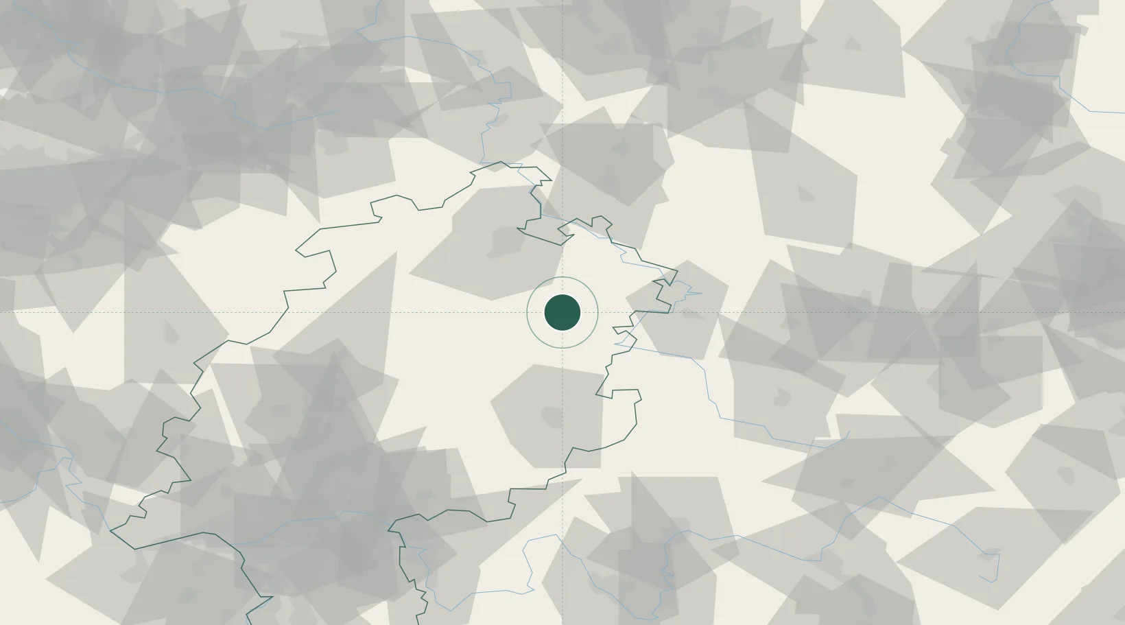
Rotenburg an der Fulda

51.0000°, 9.7333°
13,959
Population
3
Transport functions

Transport Functions

Port
Rail
Road
UN/LOCODE

Hub Profile

Place type
Populated place
GeoNames
Region
Hesse
GeoNames
Population
13,959
GeoNames
Time zone
Europe/Berlin
GeoNames
Elevation
188 m
GeoNames

Location

Location of DERBF
Natural Earth 10m (public domain) · Hesse · DERBF · 51.00, 9.73GoogleOSMYandex

Nearby Logistics Neighbours

Cities
  1. 1Alheim7 km
  2. 2Morschen11 km
  3. 3Ludwigsau13 km
  4. 4Spangenberg14 km
  5. 5Knuellwald16 km
Nearest neighbours — logibook spatial index (haversine) over the source coordinates
Ports
  1. 1Bremen246 km
  2. 2Oldenburg257 km
  3. 3Elsfleth263 km
  4. 4Brake273 km
  5. 5Papenburg283 km
Nearest neighbours — logibook spatial index (haversine) over the source coordinates
Airports
  1. 1Fritzlar Army Airfield34 km
  2. 2Eisenach-Kindel Airport52 km
  3. 3Kassel Airport52 km
  4. 4Erfurt-Weimar Airport86 km
  5. 5Paderborn Lippstadt Airport103 km
Nearest neighbours — logibook spatial index (haversine) over the source coordinates
Trade Zones
  1. 1Freeport of Duisburg225 km
  2. 2Rheinische Revier SWZ235 km
  3. 3Freeport of Bremerhaven (Freihafen Bremerhaven)242 km
  4. 4Podbořany Industrial Zone273 km
  5. 5Žatec - Triangle Strategic Industrial Zone275 km
Nearest neighbours — logibook spatial index (haversine) over the source coordinates
DatabookThe Record of Consolidated Knowledge
Germany beyond logistics?
Browse databook

All Sources

LocationsUN/LOCODE
UN/LOCODE — free
LocationsGeoNames
CC BY 4.0
Portsthe NGA World Port Index
Public domain (US gov)
AirportsOurAirports
Public domain
Trade Zonesthe World Bank SEZ database
CC BY 4.0
Trade ZonesOpen Zone Map
CC BY
← Germany locations