Transport Functions
Multimodal
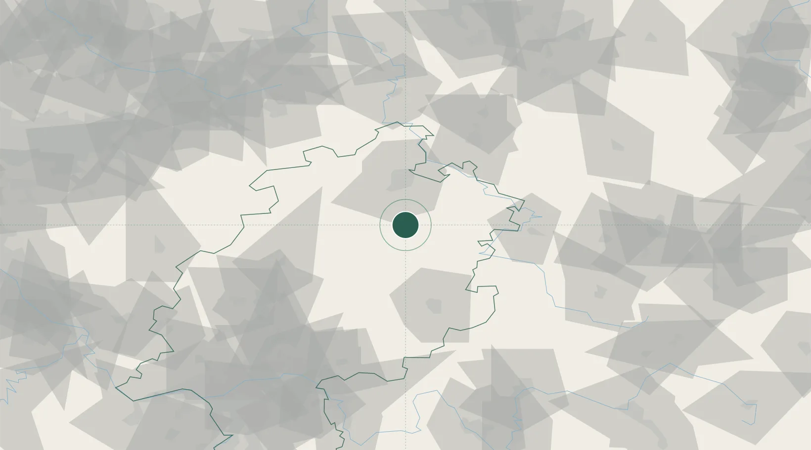
Hub Profile
Region
HE
Location
Nearby Logistics Neighbours
Cities
- 1Malsfeld6 km
- 2Beiseförth6 km
- 3Morschen6 km
- 4Alheim11 km
- 5Felsberg13 km
Airports
- 1Fritzlar Army Airfield19 km
- 2Kassel Airport44 km
- 3Eisenach-Kindel Airport68 km
- 4Paderborn Lippstadt Airport90 km
- 5Erfurt-Weimar Airport101 km
Trade Zones
- 1Freeport of Duisburg209 km
- 2Rheinische Revier SWZ220 km
- 3Freeport of Bremerhaven (Freihafen Bremerhaven)234 km
- 4ZFU La Cité Behren-lès-Forbach278 km
- 5Luxembourg Free Port281 km
DatabookThe Record of Consolidated Knowledge
Germany beyond logistics?