Transport Functions
Port
Rail
Road
Hub Profile
Region
HE
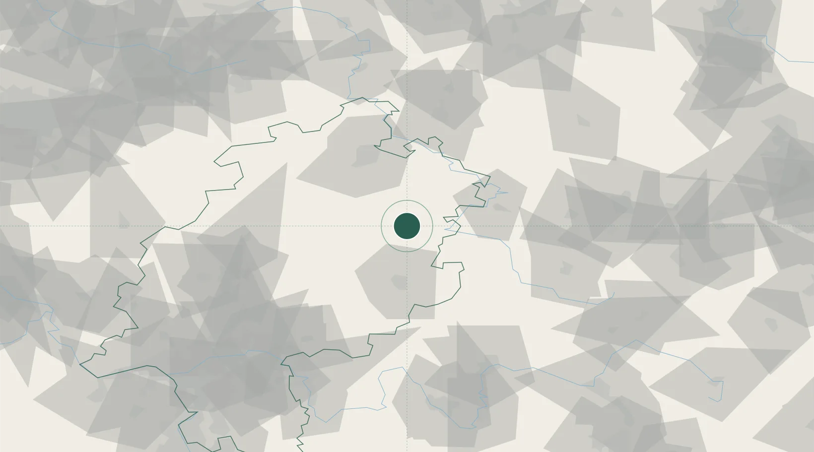
Location
Nearby Logistics Neighbours
Cities
- 1Hauneck7 km
- 2Kirchheim13 km
- 3Rotenburg an der Fulda13 km
- 4Niederaula13 km
- 5Neukirchen13 km
Airports
- 1Fritzlar Army Airfield41 km
- 2Eisenach-Kindel Airport54 km
- 3Kassel Airport64 km
- 4Erfurt-Weimar Airport87 km
- 5Paderborn Lippstadt Airport112 km
Trade Zones
DatabookThe Record of Consolidated Knowledge
Germany beyond logistics?