UN/LOCODE hub · Germany
DEZCD

Morschen

51.0500°, 9.6000°
1
Transport functions

Transport Functions

Multimodal
UN/LOCODE

Hub Profile

Region
HE
GeoNames

Location

Location of DEZCD
Natural Earth 10m (public domain) · HE · DEZCD · 51.05, 9.60GoogleOSMYandex

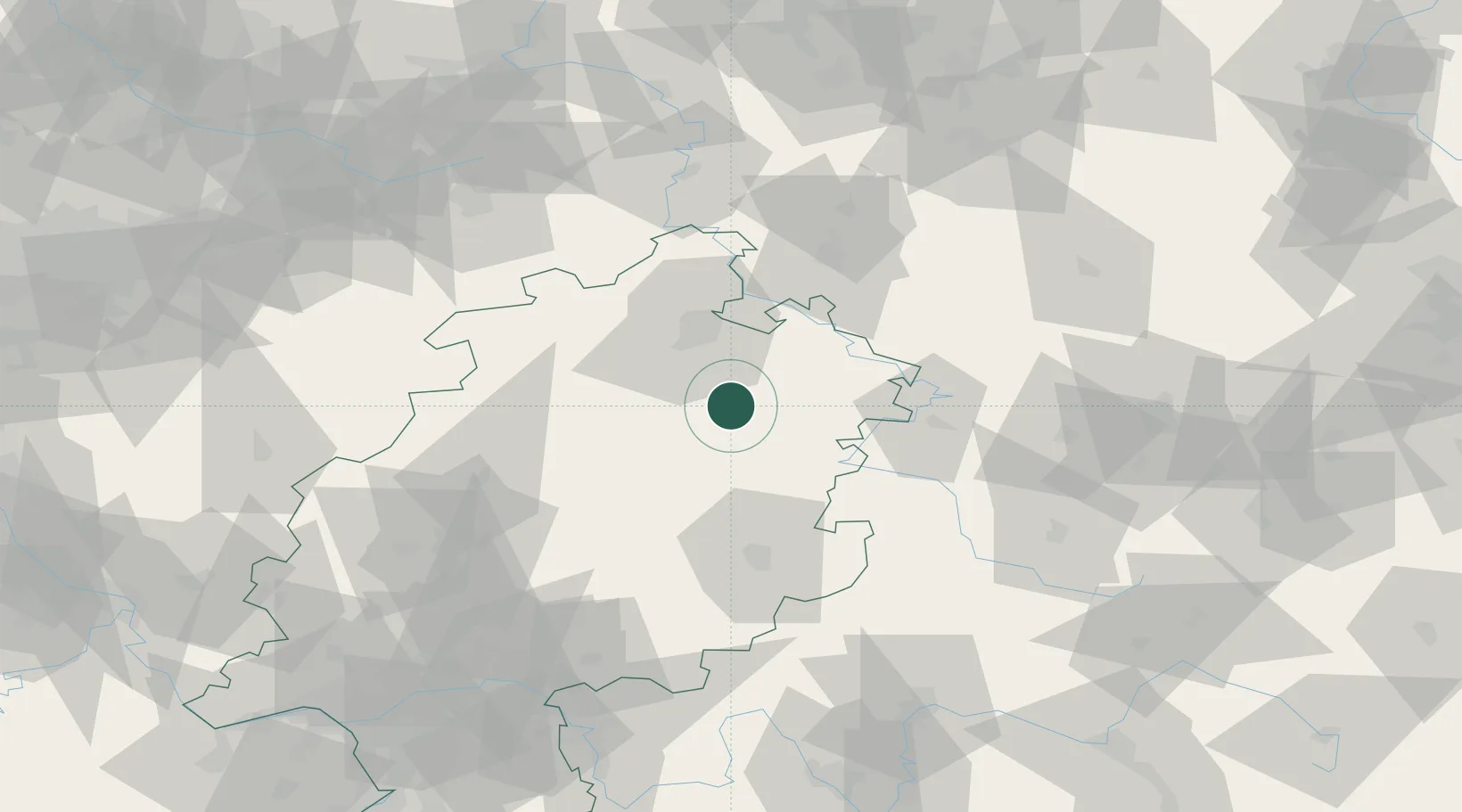
Nearby Logistics Neighbours

Cities
  1. 1Alheim5 km
  2. 2Beiseförth5 km
  3. 3Malsfeld6 km
  4. 4Knuellwald6 km
  5. 5Spangenberg9 km
Nearest neighbours — logibook spatial index (haversine) over the source coordinates
Ports
  1. 1Bremen239 km
  2. 2Oldenburg249 km
  3. 3Elsfleth255 km
  4. 4Brake265 km
  5. 5Papenburg274 km
Nearest neighbours — logibook spatial index (haversine) over the source coordinates
Airports
  1. 1Fritzlar Army Airfield23 km
  2. 2Kassel Airport44 km
  3. 3Eisenach-Kindel Airport62 km
  4. 4Paderborn Lippstadt Airport93 km
  5. 5Erfurt-Weimar Airport96 km
Nearest neighbours — logibook spatial index (haversine) over the source coordinates
Trade Zones
  1. 1Freeport of Duisburg214 km
  2. 2Rheinische Revier SWZ226 km
  3. 3Freeport of Bremerhaven (Freihafen Bremerhaven)234 km
  4. 4ZFU La Cité Behren-lès-Forbach283 km
  5. 5Podbořany Industrial Zone283 km
Nearest neighbours — logibook spatial index (haversine) over the source coordinates
DatabookThe Record of Consolidated Knowledge
Germany beyond logistics?
Browse databook

All Sources

LocationsUN/LOCODE
UN/LOCODE — free
Portsthe NGA World Port Index
Public domain (US gov)
AirportsOurAirports
Public domain
Trade Zonesthe World Bank SEZ database
CC BY 4.0
Trade ZonesOpen Zone Map
CC BY
← Germany locations