Transport Functions
Road
Multimodal
Hub Profile
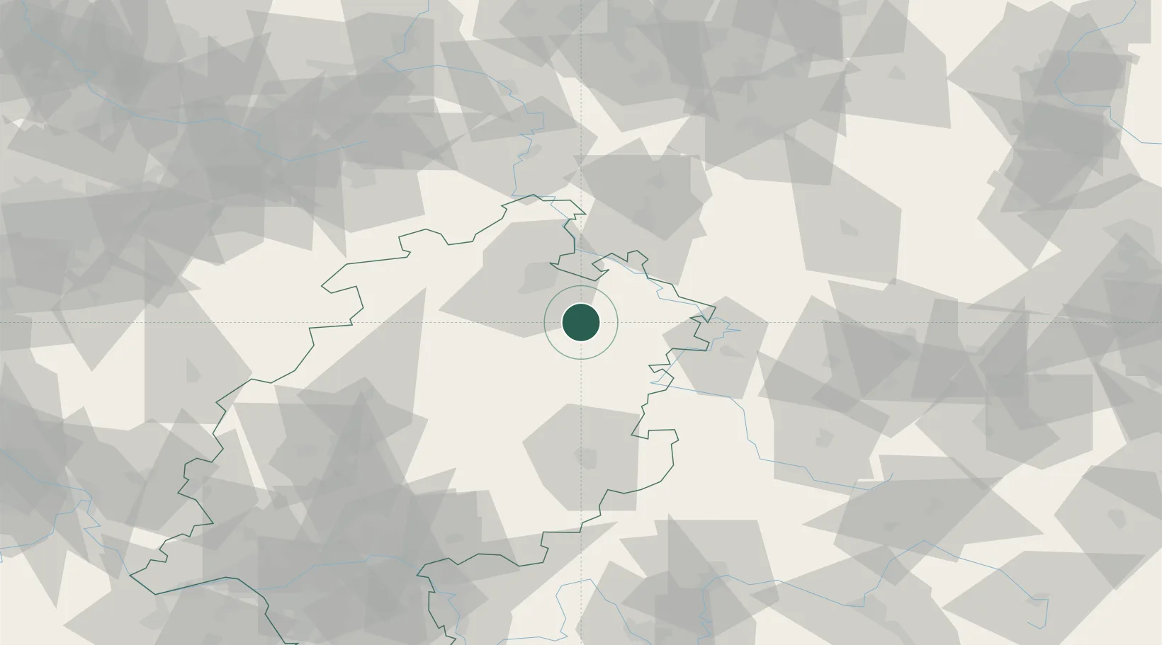
Place type
Populated place
Region
Hesse
Population
6,039
Time zone
Europe/Berlin
Elevation
237 m
Location
Nearby Logistics Neighbours
Cities
- 1Alheim7 km
- 2Morschen9 km
- 3Beiseförth9 km
- 4Malsfeld10 km
- 5Rotenburg an der Fulda14 km
Airports
- 1Fritzlar Army Airfield27 km
- 2Kassel Airport39 km
- 3Eisenach-Kindel Airport59 km
- 4Paderborn Lippstadt Airport91 km
- 5Erfurt-Weimar Airport92 km
Trade Zones
DatabookThe Record of Consolidated Knowledge
Germany beyond logistics?