Transport Functions
Port
Road
Multimodal
Hub Profile
Region
BY
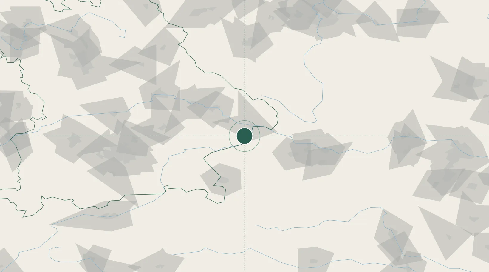
Location
Nearby Logistics Neighbours
Cities
- 1Karpfham9 km
- 2Neuburg Am Inn11 km
- 3Rucking14 km
- 4Taufkirchen an der Pram15 km
- 5Bayerbach15 km
Ports
- 1Monfalcone295 km
- 2Nogaro298 km
- 3Grado304 km
- 4Trieste311 km
- 5Muggia317 km
Airports
- 1Linz-Hörsching Airport67 km
- 2Salzburg Airport75 km
- 3Landshut Airfield96 km
- 4České Budějovice South Bohemian Airport99 km
- 5Munich Airport115 km
Trade Zones
DatabookThe Record of Consolidated Knowledge
Germany beyond logistics?