UN/LOCODE hub · Austria
ATTKP

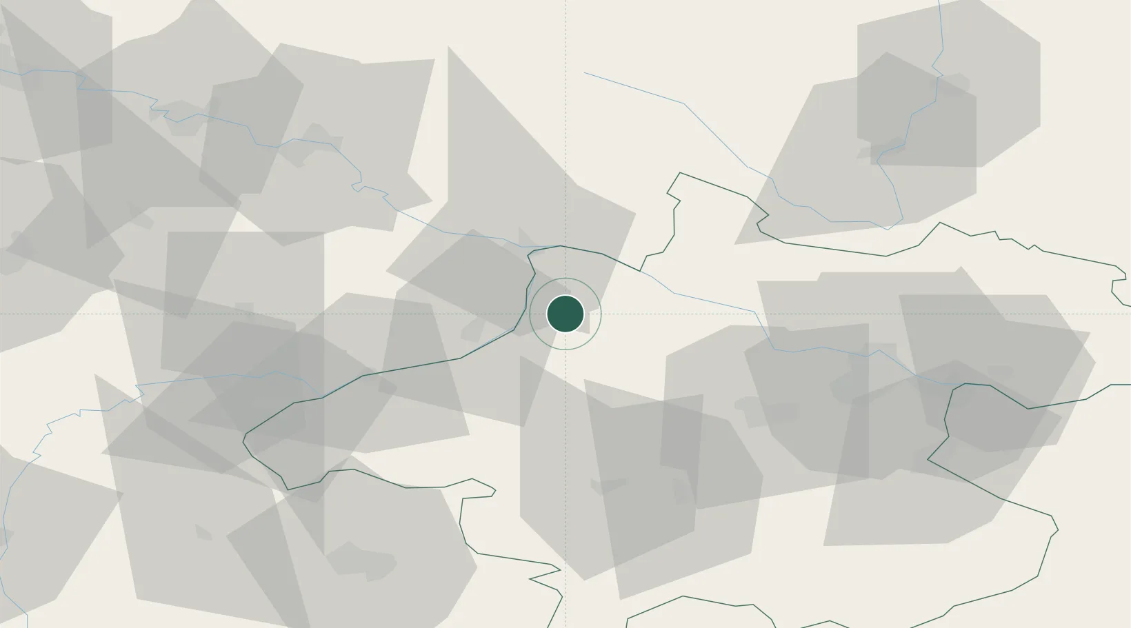
Taufkirchen an der Pram

48.4167°, 13.5333°
788
Population
4
Transport functions

Transport Functions

Port
Rail
Road
Multimodal
UN/LOCODE

Hub Profile

Place type
Populated place
GeoNames
Region
Upper Austria
GeoNames
Population
788
GeoNames
Time zone
Europe/Vienna
GeoNames
Elevation
342 m
GeoNames

Location

Location of ATTKP
Natural Earth 10m (public domain) · Upper Austria · ATTKP · 48.42, 13.53GoogleOSMYandex

Nearby Logistics Neighbours

Cities
  1. 1Sankt Florian am Inn5 km
  2. 2Kopfing im Innkreis9 km
  3. 3Neuburg Am Inn11 km
  4. 4Ruhstorf an der Rott15 km
  5. 5Ort im Innkreis15 km
Nearest neighbours — logibook spatial index (haversine) over the source coordinates
Ports
  1. 1Monfalcone293 km
  2. 2Nogaro297 km
  3. 3Grado303 km
  4. 4Trieste308 km
  5. 5Muggia314 km
Nearest neighbours — logibook spatial index (haversine) over the source coordinates
Airports
  1. 1Linz-Hörsching Airport52 km
  2. 2Salzburg Airport80 km
  3. 3České Budějovice South Bohemian Airport88 km
  4. 4Landshut Airfield111 km
  5. 5Munich Airport129 km
Nearest neighbours — logibook spatial index (haversine) over the source coordinates
Trade Zones
  1. 1Freeport of Deggendorf67 km
  2. 2Světlá nad Sázavou Municipal Industrial Zone196 km
  3. 3Podbořany Industrial Zone202 km
  4. 4Industrial Zone Kutna Hora212 km
  5. 5Žatec - Triangle Strategic Industrial Zone220 km
Nearest neighbours — logibook spatial index (haversine) over the source coordinates
DatabookThe Record of Consolidated Knowledge
Austria beyond logistics?
Browse databook

All Sources

LocationsUN/LOCODE
UN/LOCODE — free
LocationsGeoNames
CC BY 4.0
Portsthe NGA World Port Index
Public domain (US gov)
AirportsOurAirports
Public domain
Trade Zonesthe World Bank SEZ database
CC BY 4.0
Trade ZonesOpen Zone Map
CC BY
← Austria locations