Transport Functions
Rail
Road
Hub Profile
Region
BY
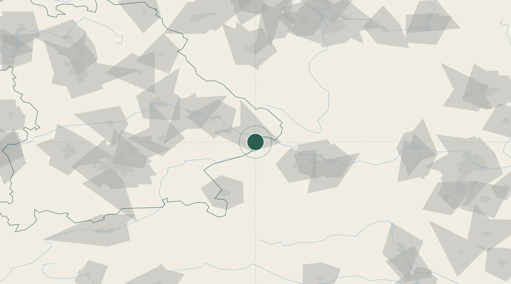
Location
Nearby Logistics Neighbours
Cities
- 1Taufkirchen an der Pram11 km
- 2Passau11 km
- 3Ruhstorf an der Rott11 km
- 4Salzweg13 km
- 5Sankt Florian am Inn13 km
Ports
- 1Monfalcone302 km
- 2Nogaro306 km
- 3Grado312 km
- 4Trieste318 km
- 5Muggia323 km
Airports
- 1Linz-Hörsching Airport62 km
- 2Salzburg Airport85 km
- 3České Budějovice South Bohemian Airport87 km
- 4Landshut Airfield104 km
- 5Munich Airport124 km
Trade Zones
DatabookThe Record of Consolidated Knowledge
Germany beyond logistics?