Transport Functions
Road
Multimodal
Hub Profile
Place type
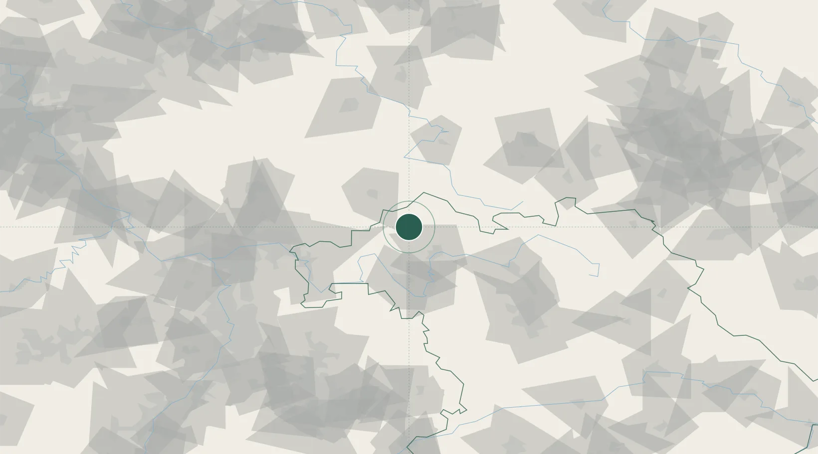
Populated place
Region
Bavaria
Population
7,893
Time zone
Europe/Berlin
Elevation
316 m
Location
Nearby Logistics Neighbours
Cities
- 1Schondra11 km
- 2Euerdorf13 km
- 3Leutershausen (Rhon-Grabfeld)14 km
- 4Bischofsheim an der Rhon15 km
- 5Oerlenbach16 km
Airports
- 1Bamberg-Breitenau Airfield76 km
- 2Eisenach-Kindel Airport87 km
- 3Niederstetten Army Air Base97 km
- 4Frankfurt-Egelsbach Airport103 km
- 5Erfurt-Weimar Airport104 km
Trade Zones
- 1Podbořany Industrial Zone242 km
- 2ZFU Hautepierre250 km
- 3Žatec - Triangle Strategic Industrial Zone251 km
- 4ZFU Neuhof251 km
- 5ZFU La Cité Behren-lès-Forbach252 km
DatabookThe Record of Consolidated Knowledge
Germany beyond logistics?