UN/LOCODE hub · Germany
DEURL

Leutershausen (Rhon-Grabfeld)

50.3333°, 10.1667°
1
Transport functions

Transport Functions

Multimodal
UN/LOCODE

Hub Profile

Region
BY
GeoNames

Location

Location of DEURL
Natural Earth 10m (public domain) · BY · DEURL · 50.33, 10.17GoogleOSMYandex

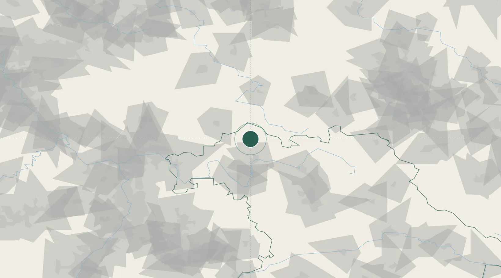
Nearby Logistics Neighbours

Cities
  1. 1Heustreu6 km
  2. 2Unsleben9 km
  3. 3Bischofsheim an der Rhon13 km
  4. 4Burkardroth14 km
  5. 5Ostheim vor der Rhön15 km
Nearest neighbours — logibook spatial index (haversine) over the source coordinates
Ports
  1. 1Bremen326 km
  2. 2Oldenburg337 km
  3. 3Elsfleth343 km
  4. 4Brake353 km
  5. 5Hamburg358 km
Nearest neighbours — logibook spatial index (haversine) over the source coordinates
Airports
  1. 1Bamberg-Breitenau Airfield70 km
  2. 2Eisenach-Kindel Airport77 km
  3. 3Erfurt-Weimar Airport91 km
  4. 4Niederstetten Army Air Base106 km
  5. 5Fritzlar Army Airfield107 km
Nearest neighbours — logibook spatial index (haversine) over the source coordinates
Trade Zones
  1. 1Podbořany Industrial Zone230 km
  2. 2Žatec - Triangle Strategic Industrial Zone238 km
  3. 3Most - Joseph Industrial Zone247 km
  4. 4Freeport of Deggendorf257 km
  5. 5ZFU Hautepierre263 km
Nearest neighbours — logibook spatial index (haversine) over the source coordinates
DatabookThe Record of Consolidated Knowledge
Germany beyond logistics?
Browse databook

All Sources

LocationsUN/LOCODE
UN/LOCODE — free
Portsthe NGA World Port Index
Public domain (US gov)
AirportsOurAirports
Public domain
Trade Zonesthe World Bank SEZ database
CC BY 4.0
Trade ZonesOpen Zone Map
CC BY
← Germany locations