Transport Functions
Multimodal
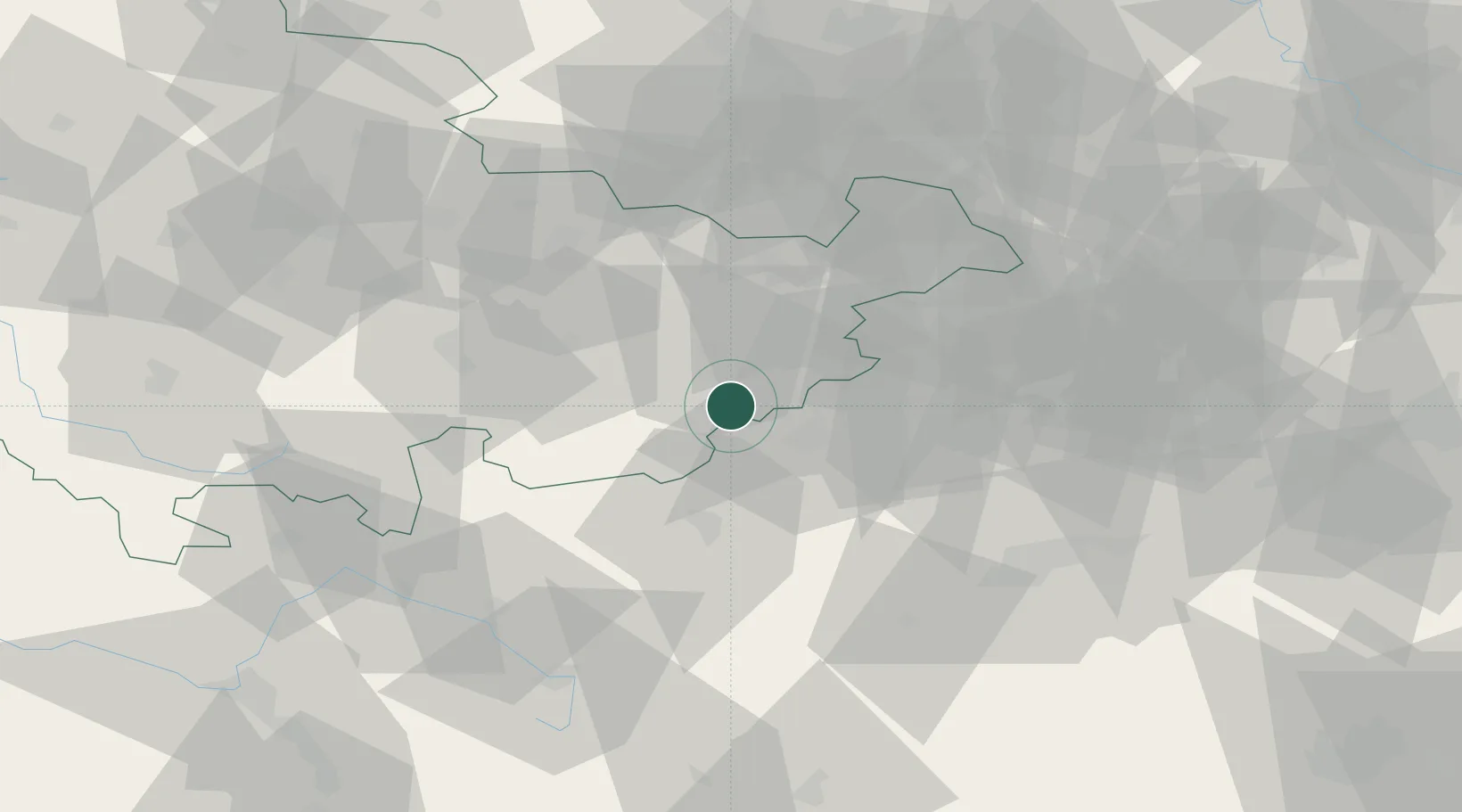
Hub Profile
Place type
Populated place
Region
Saxony
Population
3,924
Time zone
Europe/Berlin
Elevation
444 m
Location
Nearby Logistics Neighbours
Airports
- 1Hof-Plauen Airport32 km
- 2Leipzig–Altenburg Airport59 km
- 3Bayreuth Airport69 km
- 4Karlovy Vary Airport78 km
- 5Erfurt-Weimar Airport85 km
Trade Zones
DatabookThe Record of Consolidated Knowledge
Germany beyond logistics?