Transport Functions
Rail
Road
Hub Profile
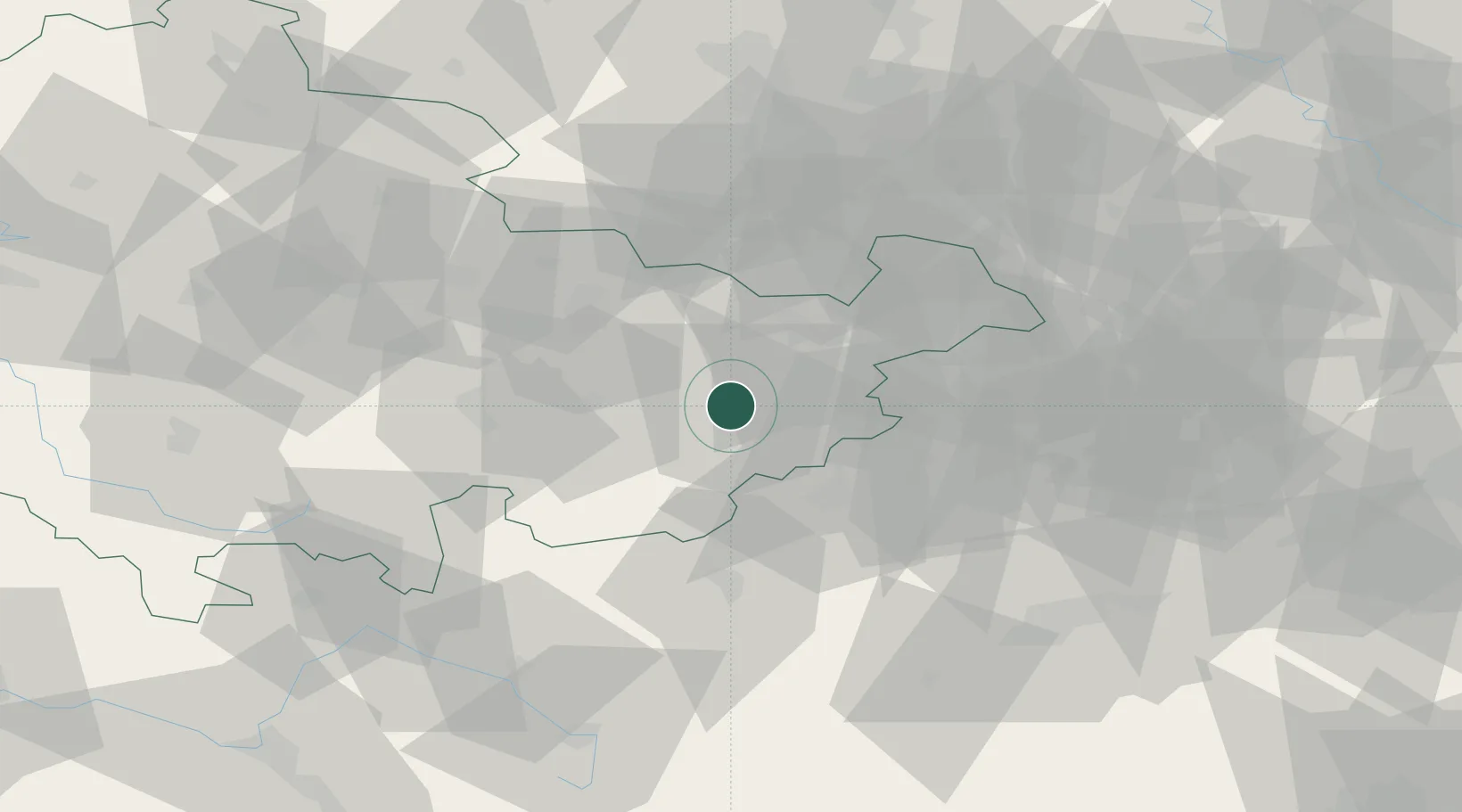
Place type
Populated place
Region
Thuringia
Population
3,235
Time zone
Europe/Berlin
Elevation
395 m
Location
Nearby Logistics Neighbours
Cities
- 1Hohenölsen11 km
- 2Weida12 km
- 3Münchenbernsdorf13 km
- 4Dittersdorf14 km
- 5Pausa15 km
Airports
- 1Hof-Plauen Airport46 km
- 2Leipzig–Altenburg Airport51 km
- 3Erfurt-Weimar Airport75 km
- 4Bayreuth Airport82 km
- 5Leipzig/Halle Airport83 km
Trade Zones
DatabookThe Record of Consolidated Knowledge
Germany beyond logistics?