Transport Functions
Port
Road
Hub Profile
Region
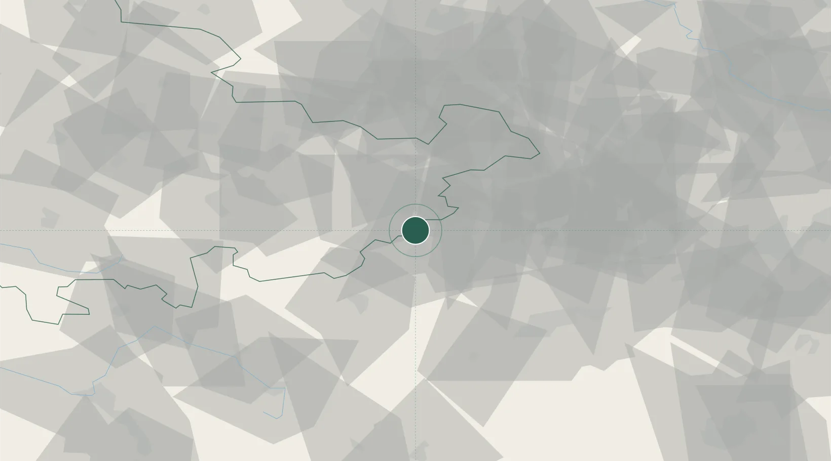
SN
Location
Nearby Logistics Neighbours
Cities
- 1Plauen9 km
- 2Reichenbach im Vogtland11 km
- 3Pausa12 km
- 4Heinsdorfergrund13 km
- 5Lengenfeld15 km
Airports
- 1Hof-Plauen Airport39 km
- 2Leipzig–Altenburg Airport51 km
- 3Karlovy Vary Airport69 km
- 4Bayreuth Airport76 km
- 5Leipzig/Halle Airport93 km
Trade Zones
DatabookThe Record of Consolidated Knowledge
Germany beyond logistics?