Transport Functions
Rail
Road
Hub Profile
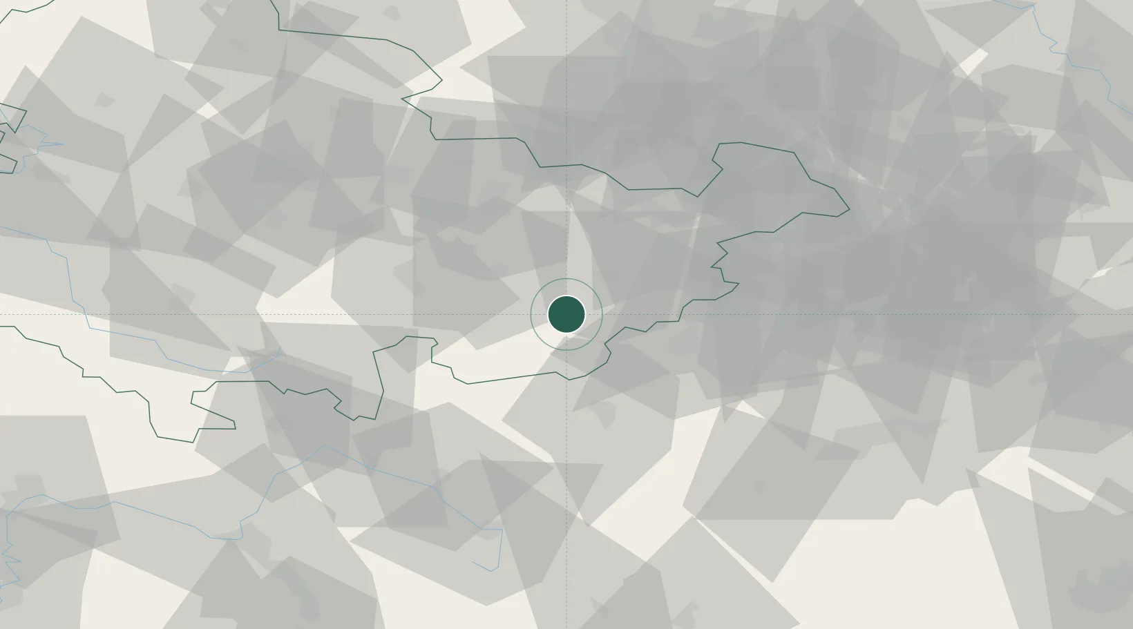
Place type
District seat
Region
Thuringia
Population
8,976
Time zone
Europe/Berlin
Elevation
437 m
Location
Nearby Logistics Neighbours
Cities
- 1Mühltroff10 km
- 2Saalburg11 km
- 3Pausa12 km
- 4Auma15 km
- 5Bad Lobenstein19 km
Airports
- 1Hof-Plauen Airport33 km
- 2Leipzig–Altenburg Airport66 km
- 3Bayreuth Airport68 km
- 4Erfurt-Weimar Airport75 km
- 5Karlovy Vary Airport89 km
Trade Zones
DatabookThe Record of Consolidated Knowledge
Germany beyond logistics?