UN/LOCODE hub · Germany
DEMTF

Mühltroff

50.5333°, 11.9333°
1
Transport functions

Transport Functions

Multimodal
UN/LOCODE

Hub Profile

Region
SN
GeoNames

Location

Location of DEMTF
Natural Earth 10m (public domain) · SN · DEMTF · 50.53, 11.93GoogleOSMYandex

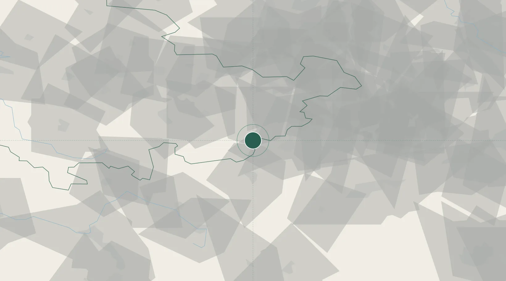
Nearby Logistics Neighbours

Cities
  1. 1Pausa5 km
  2. 2Schleiz10 km
  3. 3Saalburg15 km
  4. 4Plauen15 km
  5. 5Ginepp16 km
Nearest neighbours — logibook spatial index (haversine) over the source coordinates
Ports
  1. 1Bremen362 km
  2. 2Hamburg362 km
  3. 3Wismar376 km
  4. 4Lubeck382 km
  5. 5Elsfleth383 km
Nearest neighbours — logibook spatial index (haversine) over the source coordinates
Airports
  1. 1Hof-Plauen Airport28 km
  2. 2Leipzig–Altenburg Airport64 km
  3. 3Bayreuth Airport64 km
  4. 4Karlovy Vary Airport79 km
  5. 5Erfurt-Weimar Airport84 km
Nearest neighbours — logibook spatial index (haversine) over the source coordinates
Trade Zones
  1. 1Podbořany Industrial Zone110 km
  2. 2Žatec - Triangle Strategic Industrial Zone114 km
  3. 3Most - Joseph Industrial Zone121 km
  4. 4Freeport of Deggendorf200 km
  5. 5Kolín - Ovčáry Industrial Zone239 km
Nearest neighbours — logibook spatial index (haversine) over the source coordinates
DatabookThe Record of Consolidated Knowledge
Germany beyond logistics?
Browse databook

All Sources

LocationsUN/LOCODE
UN/LOCODE — free
Portsthe NGA World Port Index
Public domain (US gov)
AirportsOurAirports
Public domain
Trade Zonesthe World Bank SEZ database
CC BY 4.0
Trade ZonesOpen Zone Map
CC BY
← Germany locations