Transport Functions
Port
Road
Hub Profile
Place type
Populated place
Region
Brandenburg
Time zone
Europe/Berlin
Elevation
29 m
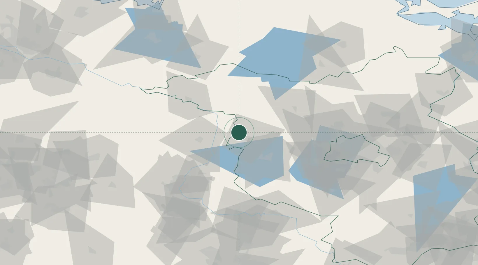
Location
Nearby Logistics Neighbours
Cities
- 1Havelberg21 km
- 2Neustadt22 km
- 3Tangermünde25 km
- 4Wusterhausen27 km
- 5Havelsee27 km
Ports
- 1Wismar145 km
- 2Rostock158 km
- 3Lubeck169 km
- 4Lubeck-Travemunde169 km
- 5Szczecin174 km
Airports
- 1Zerbst Airfield76 km
- 2Berlin Brandenburg Airport92 km
- 3Holzdorf Air Base120 km
- 4Braunschweig-Wolfsburg Airport122 km
- 5Neubrandenburg Trollenhagen Airport124 km
Trade Zones
- 1Kostrzyń-Słubice SEZ162 km
- 2Szczecin Duty Free Zone176 km
- 3Swinoujscie Duty Free Zone191 km
- 4Freeport of Kiel229 km
- 5Freeport of Bremerhaven (Freihafen Bremerhaven)238 km
DatabookThe Record of Consolidated Knowledge
Germany beyond logistics?