UN/LOCODE hub · Germany
DEHVL

Havelsee

52.4833°, 12.4667°
2
Transport functions

Transport Functions

Road
Multimodal
UN/LOCODE

Hub Profile

Region
BB
GeoNames

Location

Location of DEHVL
Natural Earth 10m (public domain) · BB · DEHVL · 52.48, 12.47GoogleOSMYandex

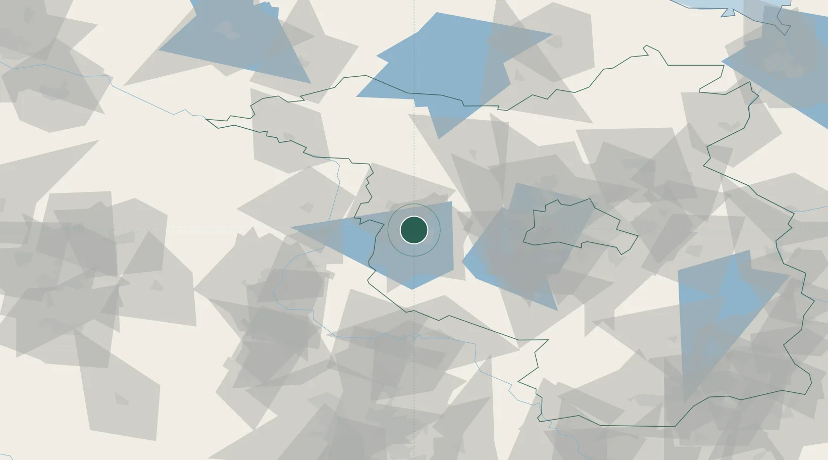
Nearby Logistics Neighbours

Cities
  1. 1Brandenburg9 km
  2. 2Wusterwitz12 km
  3. 3Kirchmöser13 km
  4. 4Rogäsen19 km
  5. 5Genthin23 km
Nearest neighbours — logibook spatial index (haversine) over the source coordinates
Ports
  1. 1Wismar171 km
  2. 2Szczecin174 km
  3. 3Rostock181 km
  4. 4Police185 km
  5. 5Wolgast195 km
Nearest neighbours — logibook spatial index (haversine) over the source coordinates
Airports
  1. 1Zerbst Airfield58 km
  2. 2Berlin Brandenburg Airport72 km
  3. 3Holzdorf Air Base93 km
  4. 4Leipzig/Halle Airport119 km
  5. 5Braunschweig-Wolfsburg Airport131 km
Nearest neighbours — logibook spatial index (haversine) over the source coordinates
Trade Zones
  1. 1Kostrzyń-Słubice SEZ148 km
  2. 2Szczecin Duty Free Zone175 km
  3. 3Swinoujscie Duty Free Zone198 km
  4. 4Most - Joseph Industrial Zone237 km
  5. 5Žatec - Triangle Strategic Industrial Zone244 km
Nearest neighbours — logibook spatial index (haversine) over the source coordinates
DatabookThe Record of Consolidated Knowledge
Germany beyond logistics?
Browse databook

All Sources

LocationsUN/LOCODE
UN/LOCODE — free
Portsthe NGA World Port Index
Public domain (US gov)
AirportsOurAirports
Public domain
Trade Zonesthe World Bank SEZ database
CC BY 4.0
Trade ZonesOpen Zone Map
CC BY
← Germany locations