Transport Functions
Multimodal
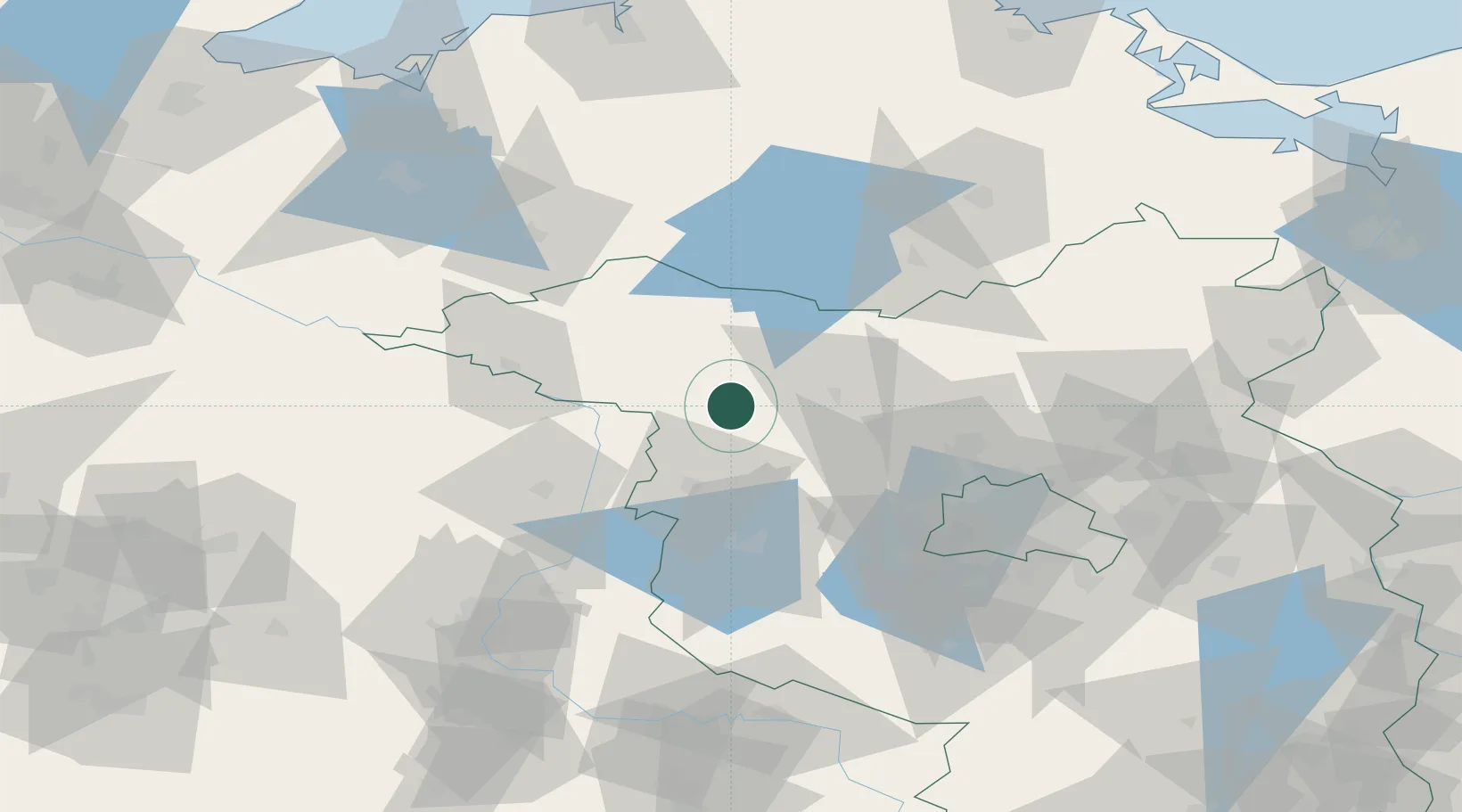
Hub Profile
Place type
Populated place
Region
Brandenburg
Population
6,632
Time zone
Europe/Berlin
Elevation
36 m
Location
Nearby Logistics Neighbours
Cities
- 1Neustadt4 km
- 2Kyritz9 km
- 3Märkisch Linden16 km
- 4Werder Bei Neuruppin16 km
- 5Fehrbellin22 km
Airports
- 1Berlin Brandenburg Airport91 km
- 2Neubrandenburg Trollenhagen Airport98 km
- 3Zerbst Airfield101 km
- 4Rostock-Laage Airport116 km
- 5Holzdorf Air Base133 km
Trade Zones
- 1Kostrzyń-Słubice SEZ150 km
- 2Szczecin Duty Free Zone153 km
- 3Swinoujscie Duty Free Zone165 km
- 4Freeport of Kiel221 km
- 5Freeport of Bremerhaven (Freihafen Bremerhaven)248 km
DatabookThe Record of Consolidated Knowledge
Germany beyond logistics?