Transport Functions
Multimodal
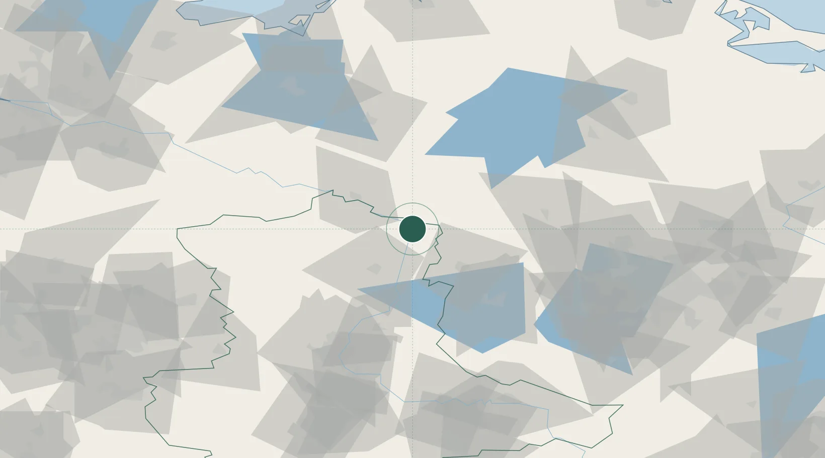
Hub Profile
Place type
Populated place
Region
Saxony-Anhalt
Population
7,078
Time zone
Europe/Berlin
Elevation
44 m
Location
Nearby Logistics Neighbours
Cities
- 1Parey21 km
- 2Seehausen22 km
- 3Neustadt25 km
- 4Kyritz26 km
- 5Wusterhausen27 km
Ports
- 1Wismar125 km
- 2Rostock141 km
- 3Lubeck148 km
- 4Lubeck-Travemunde148 km
- 5Neustadt163 km
Airports
- 1Zerbst Airfield93 km
- 2Berlin Brandenburg Airport110 km
- 3Braunschweig-Wolfsburg Airport117 km
- 4Neubrandenburg Trollenhagen Airport119 km
- 5Rostock-Laage Airport121 km
Trade Zones
- 1Kostrzyń-Słubice SEZ175 km
- 2Szczecin Duty Free Zone180 km
- 3Swinoujscie Duty Free Zone188 km
- 4Freeport of Kiel209 km
- 5Freeport of Bremerhaven (Freihafen Bremerhaven)222 km
DatabookThe Record of Consolidated Knowledge
Germany beyond logistics?