Transport Functions
Rail
Road
Hub Profile
Place type
Urban district
Region
Brandenburg
Time zone
Europe/Berlin
Elevation
35 m
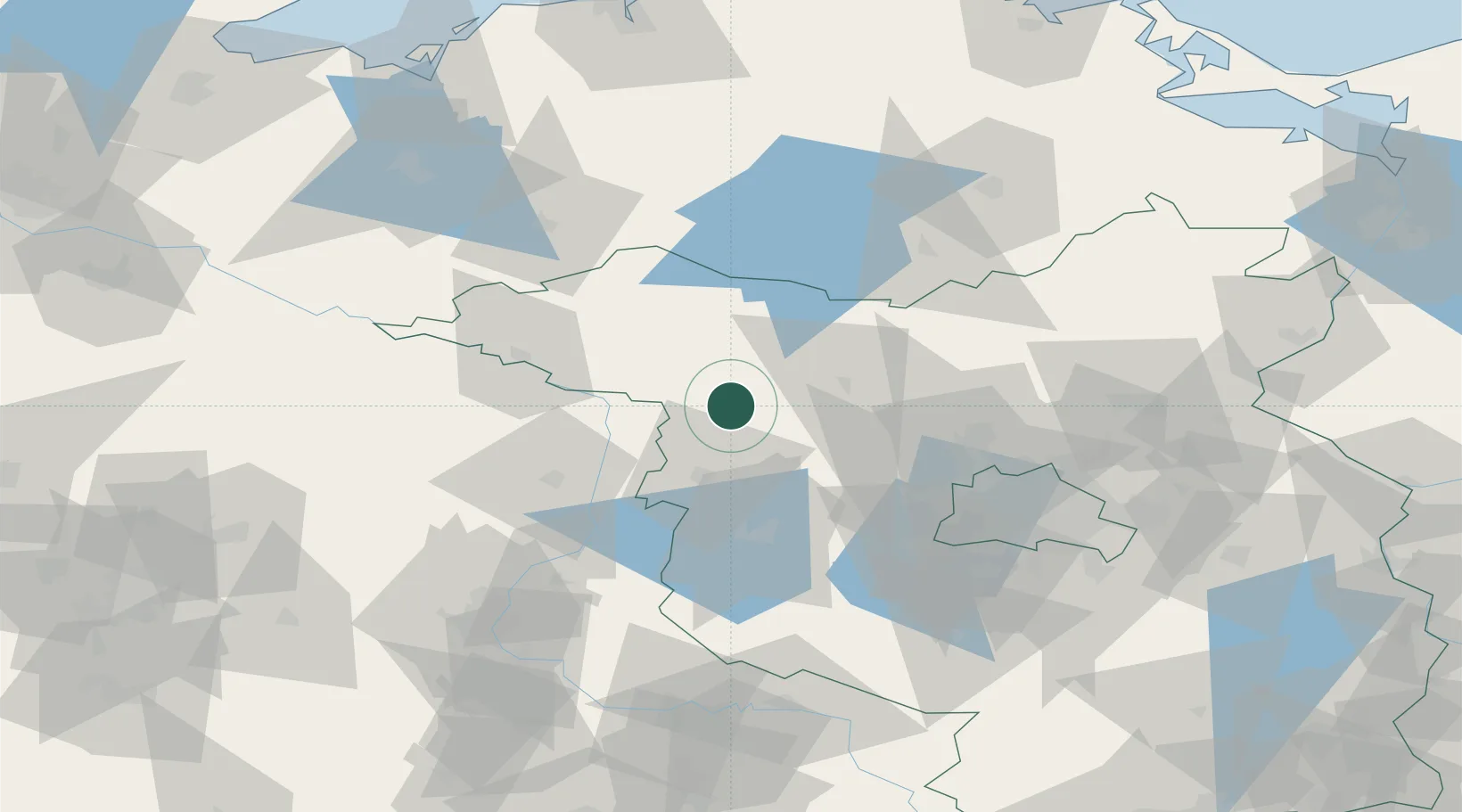
Location
Nearby Logistics Neighbours
Cities
- 1Wusterhausen4 km
- 2Kyritz11 km
- 3Märkisch Linden19 km
- 4Werder Bei Neuruppin19 km
- 5Parey22 km
Ports
- 1Wismar133 km
- 2Rostock140 km
- 3Szczecin155 km
- 4Wolgast161 km
- 5Lubeck-Travemunde161 km
Airports
- 1Berlin Brandenburg Airport90 km
- 2Zerbst Airfield96 km
- 3Neubrandenburg Trollenhagen Airport102 km
- 4Rostock-Laage Airport119 km
- 5Holzdorf Air Base130 km
Trade Zones
- 1Kostrzyń-Słubice SEZ151 km
- 2Szczecin Duty Free Zone156 km
- 3Swinoujscie Duty Free Zone169 km
- 4Freeport of Kiel222 km
- 5Freeport of Bremerhaven (Freihafen Bremerhaven)247 km
DatabookThe Record of Consolidated Knowledge
Germany beyond logistics?