Transport Functions
Port
Rail
Road
Multimodal
Hub Profile
Region
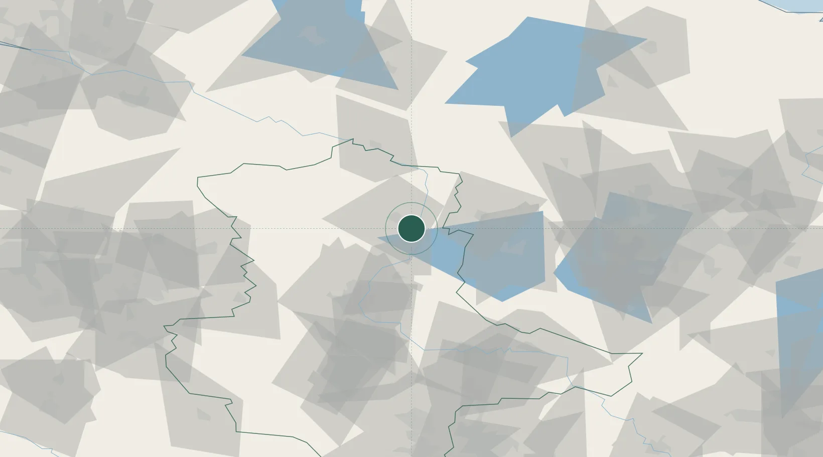
ST
Location
Nearby Logistics Neighbours
Cities
- 1Schelldorf10 km
- 2Ferchland13 km
- 3Tangerhütte17 km
- 4Gusen22 km
- 5Bertingen24 km
Ports
- 1Wismar154 km
- 2Lubeck170 km
- 3Lubeck-Travemunde173 km
- 4Rostock173 km
- 5Hamburg175 km
Airports
- 1Zerbst Airfield63 km
- 2Braunschweig-Wolfsburg Airport98 km
- 3Berlin Brandenburg Airport107 km
- 4Holzdorf Air Base120 km
- 5Faßberg Air Base126 km
Trade Zones
- 1Kostrzyń-Słubice SEZ182 km
- 2Szczecin Duty Free Zone200 km
- 3Swinoujscie Duty Free Zone215 km
- 4Freeport of Bremerhaven (Freihafen Bremerhaven)222 km
- 5Freeport of Kiel231 km
DatabookThe Record of Consolidated Knowledge
Germany beyond logistics?