Transport Functions
Rail
Road
Hub Profile
Place type
Populated place
Region
Brandenburg
Population
13,485
Time zone
Europe/Berlin
Elevation
63 m
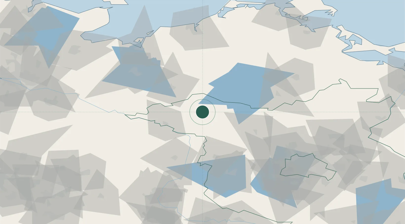
Location
Nearby Logistics Neighbours
Cities
- 1Meyenburg/Prignitz19 km
- 2Wittstock an der Dosse21 km
- 3Kyritz27 km
- 4Karstädt (Prignitz)29 km
- 5Satow33 km
Ports
- 1Wismar96 km
- 2Rostock106 km
- 3Lubeck-Travemunde125 km
- 4Lubeck128 km
- 5Neustadt139 km
Airports
- 1Rostock-Laage Airport86 km
- 2Neubrandenburg Trollenhagen Airport90 km
- 3Lübeck Blankensee Airport121 km
- 4Berlin Brandenburg Airport125 km
- 5Zerbst Airfield128 km
Trade Zones
- 1Swinoujscie Duty Free Zone161 km
- 2Szczecin Duty Free Zone162 km
- 3Kostrzyń-Słubice SEZ176 km
- 4Freeport of Kiel187 km
- 5Freeport of Bremerhaven (Freihafen Bremerhaven)228 km
DatabookThe Record of Consolidated Knowledge
Germany beyond logistics?