UN/LOCODE hub · Germany
DEMEY

Meyenburg/Prignitz

53.3146°, 12.2612°
2
Transport functions

Transport Functions

Rail
Road
UN/LOCODE

Hub Profile

Region
BB
GeoNames
Logistics facilities
1
UN/LOCODE

Location

Location of DEMEY
Natural Earth 10m (public domain) · BB · DEMEY · 53.31, 12.26GoogleOSMYandex

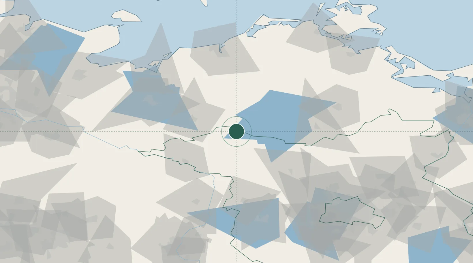
Nearby Logistics Neighbours

Cities
  1. 1Satow14 km
  2. 2Pritzwalk19 km
  3. 3Malchow20 km
  4. 4Röbel/Müritz24 km
  5. 5Wittstock an der Dosse24 km
Nearest neighbours — logibook spatial index (haversine) over the source coordinates
Ports
  1. 1Wismar84 km
  2. 2Rostock88 km
  3. 3Lubeck-Travemunde116 km
  4. 4Lubeck121 km
  5. 5Stralsund124 km
Nearest neighbours — logibook spatial index (haversine) over the source coordinates
Airports
  1. 1Rostock-Laage Airport67 km
  2. 2Neubrandenburg Trollenhagen Airport76 km
  3. 3Lübeck Blankensee Airport116 km
  4. 4Berlin Brandenburg Airport135 km
  5. 5Heringsdorf Airport140 km
Nearest neighbours — logibook spatial index (haversine) over the source coordinates
Trade Zones
  1. 1Swinoujscie Duty Free Zone148 km
  2. 2Szczecin Duty Free Zone154 km
  3. 3Freeport of Kiel178 km
  4. 4Kostrzyń-Słubice SEZ178 km
  5. 5Freeport of Bremerhaven (Freihafen Bremerhaven)234 km
Nearest neighbours — logibook spatial index (haversine) over the source coordinates
DatabookThe Record of Consolidated Knowledge
Germany beyond logistics?
Browse databook

All Sources

LocationsUN/LOCODE
UN/LOCODE — free
Portsthe NGA World Port Index
Public domain (US gov)
AirportsOurAirports
Public domain
Trade Zonesthe World Bank SEZ database
CC BY 4.0
Trade ZonesOpen Zone Map
CC BY
← Germany locations