Transport Functions
Rail
Road
Hub Profile
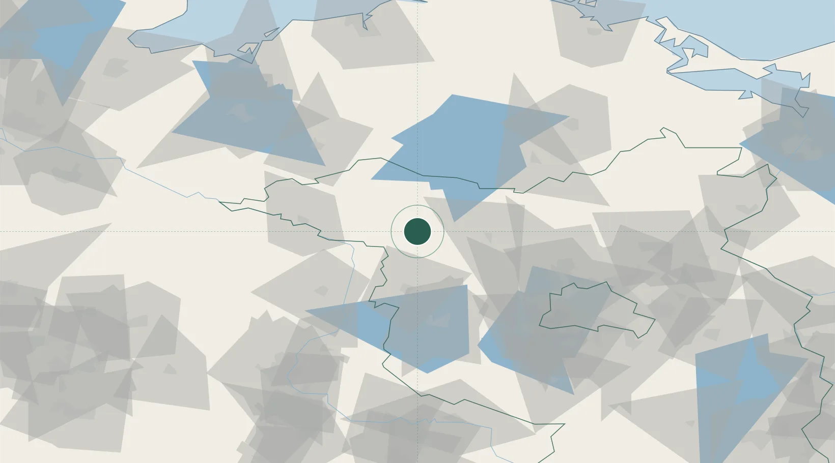
Place type
Populated place
Region
Brandenburg
Population
10,274
Time zone
Europe/Berlin
Elevation
45 m
Location
Nearby Logistics Neighbours
Cities
- 1Wusterhausen9 km
- 2Neustadt11 km
- 3Märkisch Linden20 km
- 4Werder Bei Neuruppin20 km
- 5Wittstock an der Dosse23 km
Ports
- 1Wismar122 km
- 2Rostock129 km
- 3Lubeck-Travemunde151 km
- 4Szczecin152 km
- 5Wolgast153 km
Airports
- 1Neubrandenburg Trollenhagen Airport94 km
- 2Berlin Brandenburg Airport99 km
- 3Zerbst Airfield107 km
- 4Rostock-Laage Airport108 km
- 5Holzdorf Air Base141 km
Trade Zones
- 1Szczecin Duty Free Zone154 km
- 2Kostrzyń-Słubice SEZ156 km
- 3Swinoujscie Duty Free Zone163 km
- 4Freeport of Kiel213 km
- 5Freeport of Bremerhaven (Freihafen Bremerhaven)243 km
DatabookThe Record of Consolidated Knowledge
Germany beyond logistics?