Transport Functions
Rail
Road
Hub Profile
Region
BB
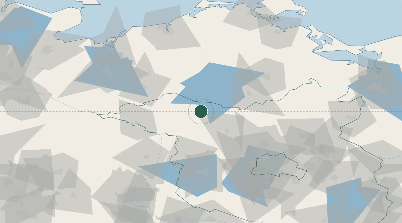
Location
Nearby Logistics Neighbours
Cities
- 1Pritzwalk21 km
- 2Möckern21 km
- 3Kyritz23 km
- 4Meyenburg/Prignitz24 km
- 5Rechlin25 km
Airports
- 1Neubrandenburg Trollenhagen Airport73 km
- 2Rostock-Laage Airport87 km
- 3Berlin Brandenburg Airport111 km
- 4Zerbst Airfield130 km
- 5Heringsdorf Airport136 km
Trade Zones
- 1Szczecin Duty Free Zone141 km
- 2Swinoujscie Duty Free Zone144 km
- 3Kostrzyń-Słubice SEZ156 km
- 4Freeport of Kiel202 km
- 5Freeport of Bremerhaven (Freihafen Bremerhaven)249 km
DatabookThe Record of Consolidated Knowledge
Germany beyond logistics?