Transport Functions
Rail
Road
Hub Profile
Place type
Populated place
Region
Mecklenburg-Vorpommern
Population
192
Time zone
Europe/Berlin
Elevation
96 m
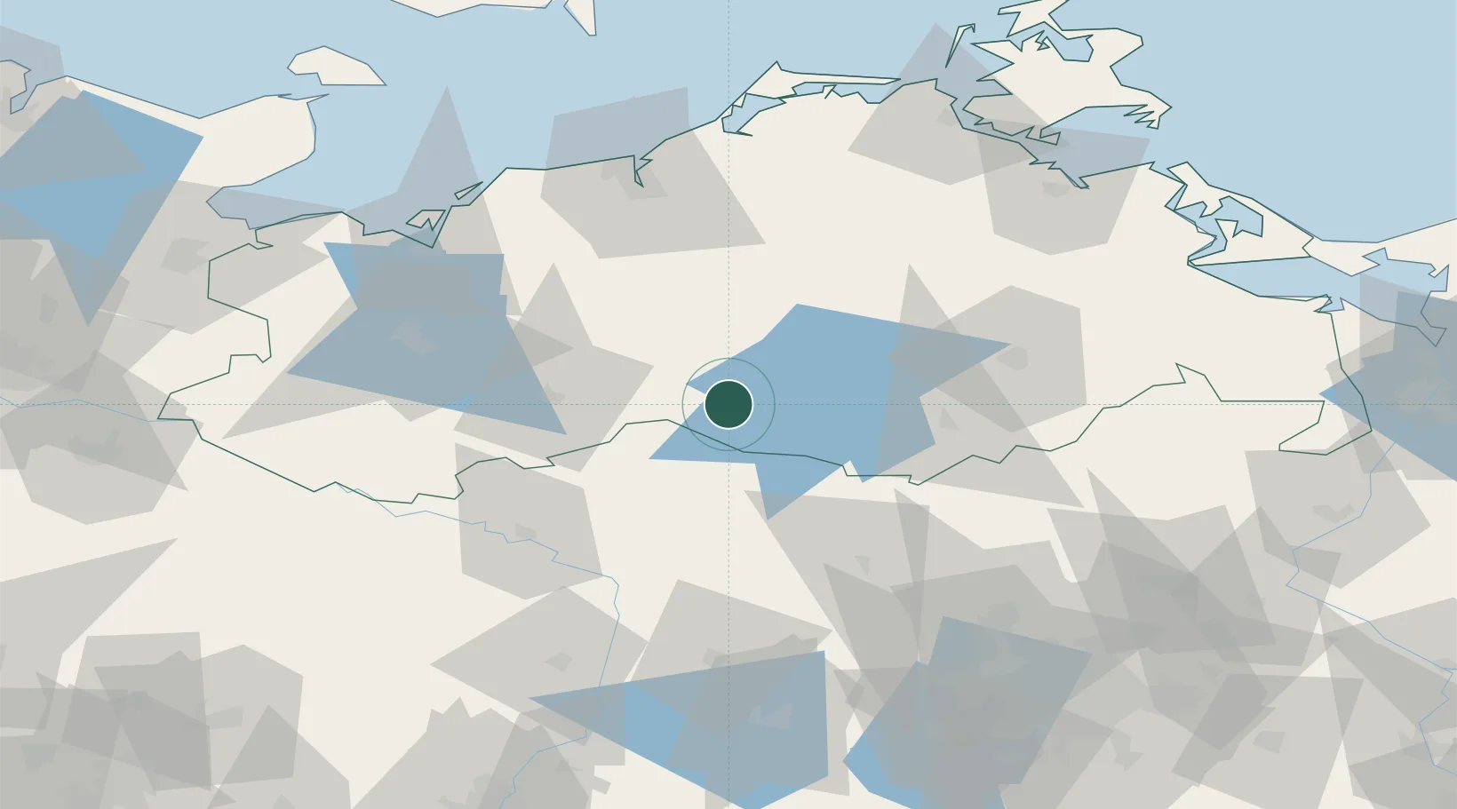
Location
Nearby Logistics Neighbours
Cities
- 1Malchow6 km
- 2Meyenburg/Prignitz14 km
- 3Röbel/Müritz15 km
- 4Gallin21 km
- 5Rechlin24 km
Ports
- 1Rostock78 km
- 2Wismar81 km
- 3Stralsund111 km
- 4Wolgast116 km
- 5Lubeck-Travemunde116 km
Airports
- 1Rostock-Laage Airport56 km
- 2Neubrandenburg Trollenhagen Airport64 km
- 3Lübeck Blankensee Airport118 km
- 4Heringsdorf Airport127 km
- 5Berlin Brandenburg Airport139 km
Trade Zones
- 1Swinoujscie Duty Free Zone136 km
- 2Szczecin Duty Free Zone145 km
- 3Kostrzyń-Słubice SEZ176 km
- 4Freeport of Kiel177 km
- 5Freeport of Bremerhaven (Freihafen Bremerhaven)243 km
DatabookThe Record of Consolidated Knowledge
Germany beyond logistics?