UN/LOCODE hub · Germany
DEPHR
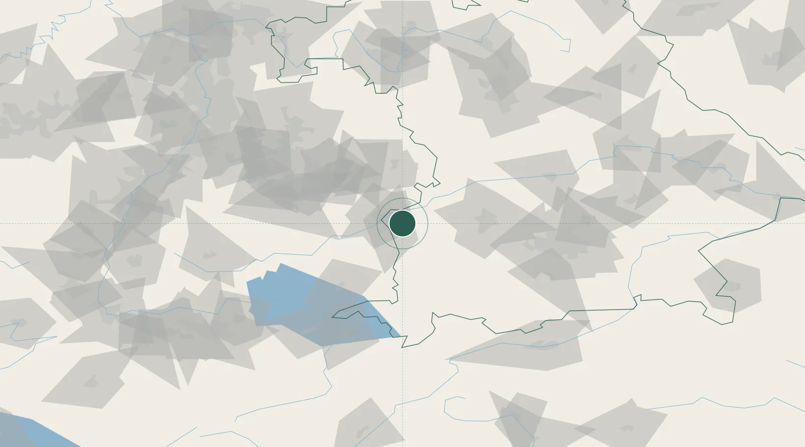
Pfaffenhofen an der Roth
48.3500°, 10.1667°
7,158
Population
1
Transport functions
Transport Functions
Multimodal
Hub Profile
Place type
Populated place
Region
Bavaria
Population
7,158
Time zone
Europe/Berlin
Elevation
488 m
Location
Nearby Logistics Neighbours
Cities
- 1Biberachzell5 km
- 2Roggenburg10 km
- 3Burlafingen11 km
- 4Leipheim11 km
- 5Bubesheim11 km
Ports
- 1Nogaro367 km
- 2Porto Di Lido-Venezia369 km
- 3Grado379 km
- 4Porto Di Chioggia383 km
- 5Monfalcone384 km
Airports
- 1Laupheim Air Base24 km
- 2Memmingen Allgau Airport41 km
- 3Lechfeld Air Base55 km
- 4Augsburg Airport57 km
- 5Mengen-Hohentengen Airfield67 km
Trade Zones
- 1ZFU Neuhof179 km
- 2ZFU Hautepierre184 km
- 3Livigno Free Trade Zone202 km
- 4Freeport of Deggendorf209 km
- 5ZFU Mulhouse221 km
DatabookThe Record of Consolidated Knowledge
Germany beyond logistics?