Transport Functions
Road
Multimodal
Hub Profile
Place type
Populated place
Region
Bavaria
Time zone
Europe/Berlin
Elevation
464 m
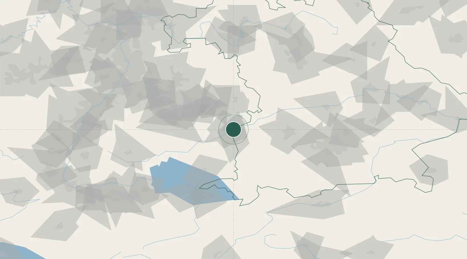
Location
Nearby Logistics Neighbours
Cities
- 1Ulm5 km
- 2Unterelchingen6 km
- 3Neu Ulm9 km
- 4Beimerstetten10 km
- 5Pfaffenhofen an der Roth11 km
Ports
- 1Nogaro377 km
- 2Porto Di Lido-Venezia379 km
- 3Grado389 km
- 4Porto Di Chioggia393 km
- 5Monfalcone394 km
Airports
- 1Laupheim Air Base25 km
- 2Memmingen Allgau Airport49 km
- 3Augsburg Airport64 km
- 4Lechfeld Air Base64 km
- 5Mengen-Hohentengen Airfield65 km
Trade Zones
- 1ZFU Neuhof170 km
- 2ZFU Hautepierre176 km
- 3Livigno Free Trade Zone210 km
- 4Freeport of Deggendorf214 km
- 5ZFU Mulhouse216 km
DatabookThe Record of Consolidated Knowledge
Germany beyond logistics?