Transport Functions
Multimodal
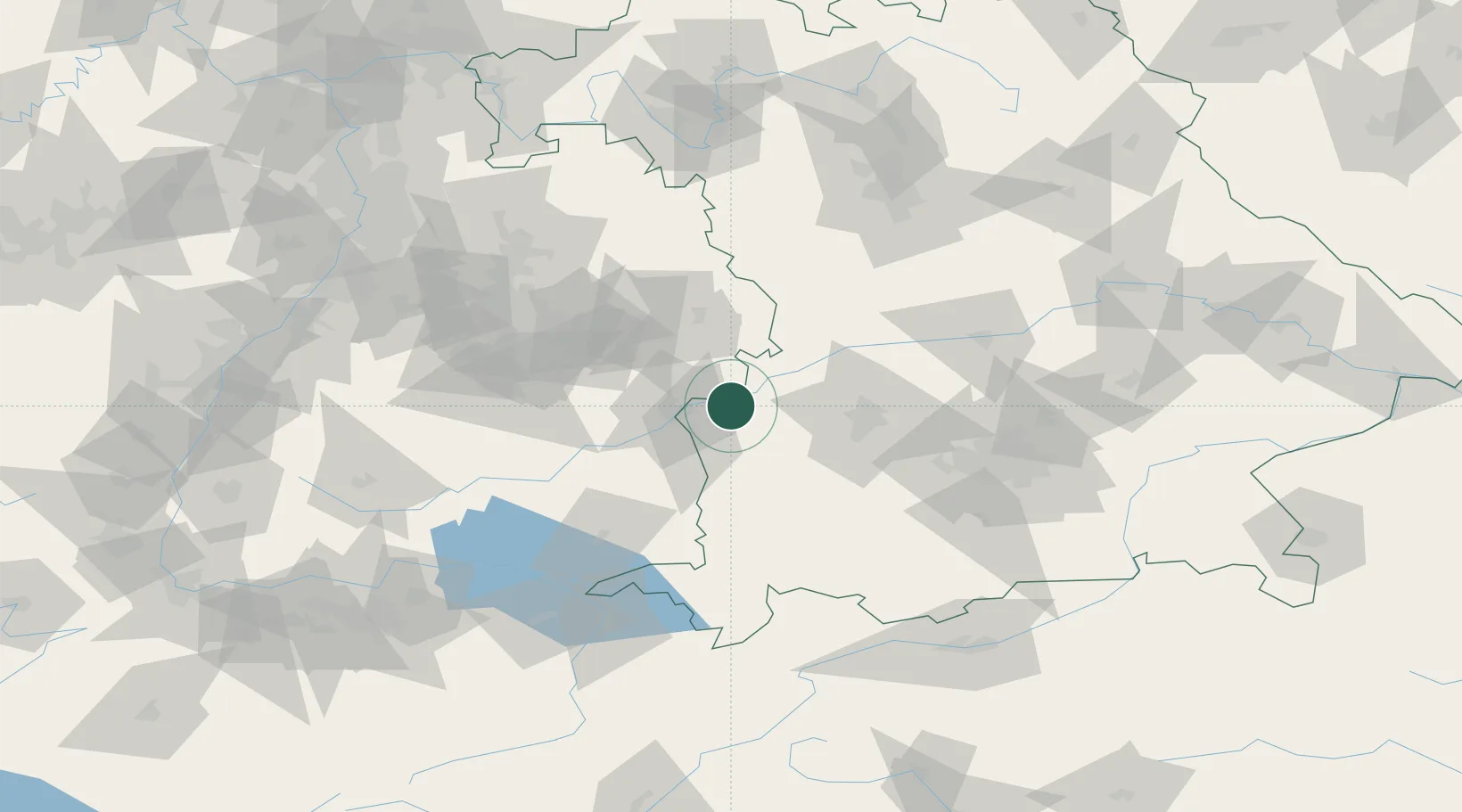
Hub Profile
Place type
Local administrative seat
Region
Bavaria
Population
1,414
Time zone
Europe/Berlin
Elevation
467 m
Location
Nearby Logistics Neighbours
Cities
- 1Leipheim1 km
- 2Ichenhausen9 km
- 3Burgau11 km
- 4Rammingen11 km
- 5Pfaffenhofen an der Roth11 km
Ports
- 1Nogaro370 km
- 2Porto Di Lido-Venezia374 km
- 3Grado382 km
- 4Monfalcone386 km
- 5Porto Di Chioggia389 km
Airports
- 1Laupheim Air Base35 km
- 2Memmingen Allgau Airport50 km
- 3Augsburg Airport50 km
- 4Lechfeld Air Base53 km
- 5Neuburg Air Base77 km
Trade Zones
- 1ZFU Neuhof184 km
- 2ZFU Hautepierre189 km
- 3Freeport of Deggendorf200 km
- 4Livigno Free Trade Zone212 km
- 5ZFU Mulhouse229 km
DatabookThe Record of Consolidated Knowledge
Germany beyond logistics?