Transport Functions
Port
Rail
Road
Hub Profile
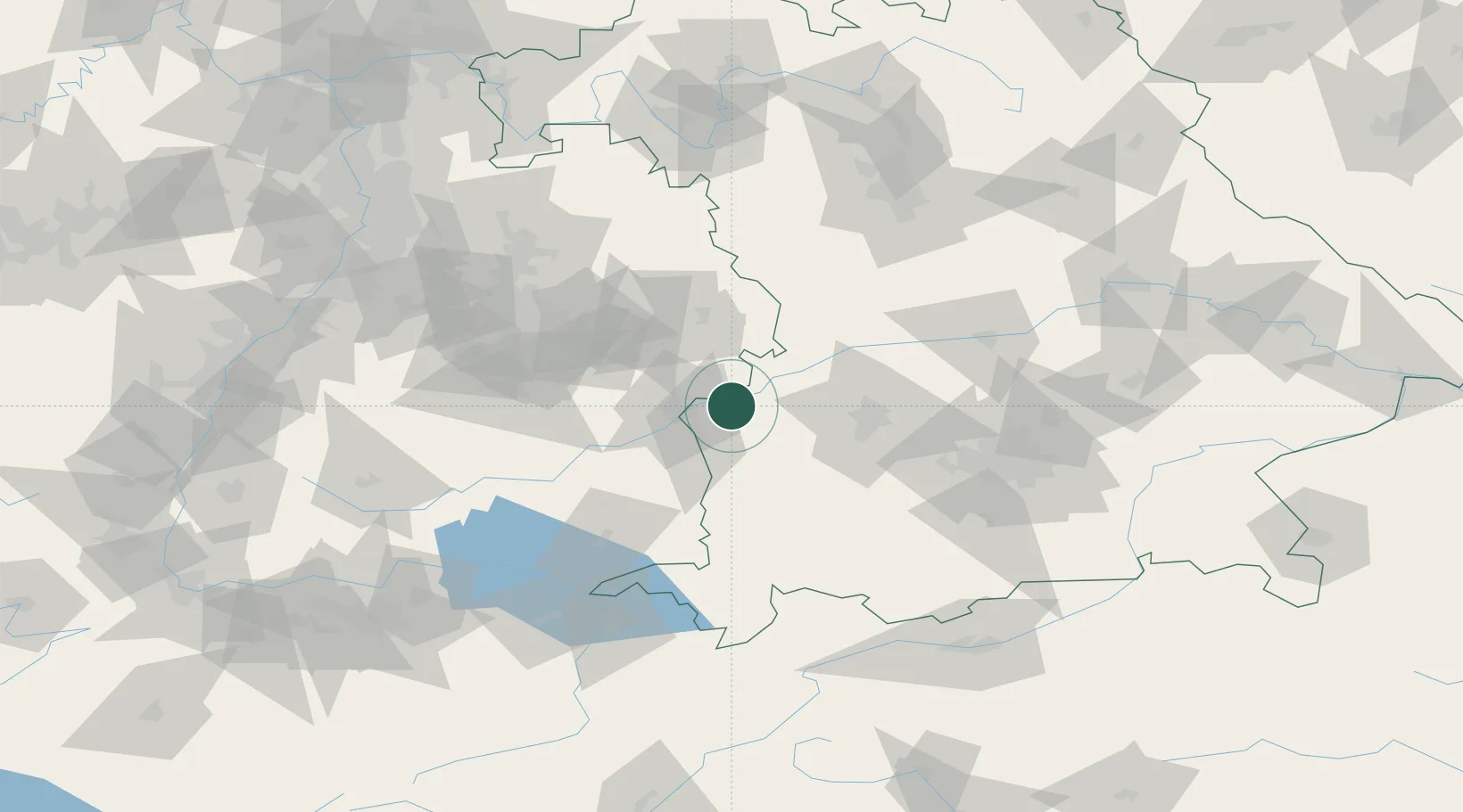
Place type
Populated place
Region
Bavaria
Population
6,822
Time zone
Europe/Berlin
Elevation
471 m
Location
Nearby Logistics Neighbours
Cities
- 1Bubesheim1 km
- 2Ichenhausen10 km
- 3Rammingen11 km
- 4Pfaffenhofen an der Roth11 km
- 5Unterelchingen11 km
Ports
- 1Nogaro371 km
- 2Porto Di Lido-Venezia375 km
- 3Grado383 km
- 4Monfalcone387 km
- 5Porto Di Chioggia389 km
Airports
- 1Laupheim Air Base34 km
- 2Memmingen Allgau Airport50 km
- 3Augsburg Airport52 km
- 4Lechfeld Air Base54 km
- 5Mengen-Hohentengen Airfield76 km
Trade Zones
- 1ZFU Neuhof182 km
- 2ZFU Hautepierre188 km
- 3Freeport of Deggendorf202 km
- 4Livigno Free Trade Zone212 km
- 5ZFU Mulhouse228 km
DatabookThe Record of Consolidated Knowledge
Germany beyond logistics?