Transport Functions
Multimodal
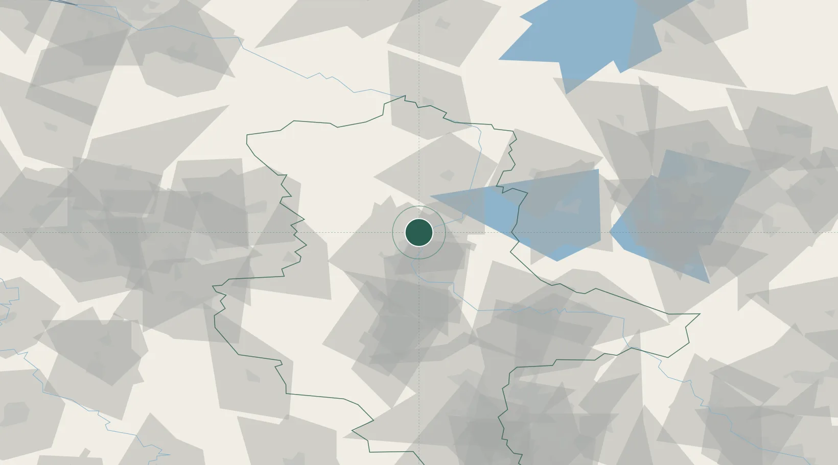
Hub Profile
Place type
Populated place
Region
Saxony-Anhalt
Population
680
Time zone
Europe/Berlin
Elevation
49 m
Location
Nearby Logistics Neighbours
Cities
- 1Heinrichsberg4 km
- 2Rogätz5 km
- 3Hohenwarthe8 km
- 4Bertingen11 km
- 5Burg bei Magdeburg11 km
Ports
- 1Wismar179 km
- 2Hamburg183 km
- 3Lubeck188 km
- 4Lubeck-Travemunde193 km
- 5Rostock202 km
Airports
- 1Zerbst Airfield45 km
- 2Braunschweig-Wolfsburg Airport78 km
- 3Leipzig/Halle Airport104 km
- 4Holzdorf Air Base117 km
- 5Celle Army Airfield118 km
Trade Zones
DatabookThe Record of Consolidated Knowledge
Germany beyond logistics?