Transport Functions
Port
Road
Hub Profile
Region
NW
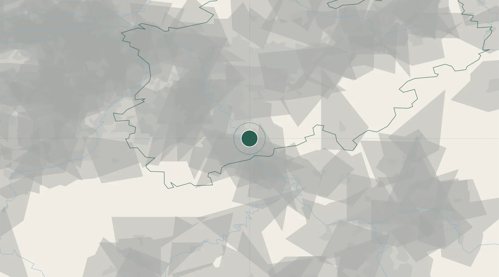
Location
Nearby Logistics Neighbours
Cities
- 1Sankt Augustin4 km
- 2Mondorf6 km
- 3Bonn6 km
- 4Grau Rheindorf8 km
- 5Niederkassel8 km
Airports
- 1Cologne Bonn Airport7 km
- 2Nörvenich Air Base35 km
- 3Düsseldorf Airport61 km
- 4Mönchengladbach Airport66 km
- 5Siegerland Airport66 km
Trade Zones
- 1Rheinische Revier SWZ55 km
- 2Freeport of Duisburg82 km
- 3Luxembourg Free Port145 km
- 4ZFU La Cité Behren-lès-Forbach182 km
- 5ZFU Woippy-Metz197 km
DatabookThe Record of Consolidated Knowledge
Germany beyond logistics?