Transport Functions
Rail
Road
Hub Profile
Place type
Local administrative seat
Region
North Rhine-Westphalia
Population
56,094
Time zone
Europe/Berlin
Elevation
69 m
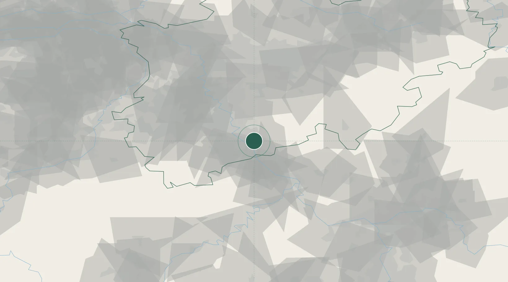
Location
Nearby Logistics Neighbours
Cities
- 1Friedrich-Wilhelmshutte4 km
- 2Bonn7 km
- 3Niederdollendorf7 km
- 4Mondorf8 km
- 5Grau Rheindorf8 km
Airports
- 1Cologne Bonn Airport11 km
- 2Nörvenich Air Base38 km
- 3Siegerland Airport64 km
- 4Düsseldorf Airport65 km
- 5Büchel Air Base67 km
Trade Zones
- 1Rheinische Revier SWZ59 km
- 2Freeport of Duisburg86 km
- 3Luxembourg Free Port143 km
- 4ZFU La Cité Behren-lès-Forbach179 km
- 5ZFU Woippy-Metz194 km
DatabookThe Record of Consolidated Knowledge
Germany beyond logistics?