Transport Functions
Rail
Road
Hub Profile
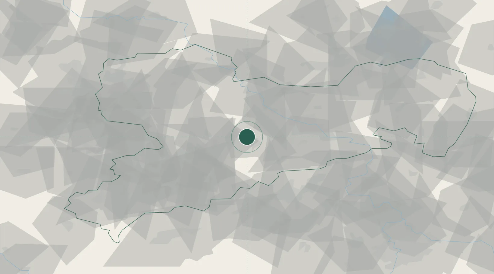
Place type
Populated place
Region
Saxony
Population
6,179
Time zone
Europe/Berlin
Elevation
369 m
Location
Nearby Logistics Neighbours
Cities
- 1Grossvoigtsberg2 km
- 2Halsbrücke5 km
- 3Oberschöna8 km
- 4Drossdorf9 km
- 5Nossen9 km
Ports
- 1Szczecin286 km
- 2Police302 km
- 3Swinoujscie335 km
- 4Wolgast345 km
- 5Wismar349 km
Airports
- 1Dresden Airport39 km
- 2Leipzig–Altenburg Airport54 km
- 3Karlovy Vary Airport89 km
- 4Leipzig/Halle Airport89 km
- 5Holzdorf Air Base89 km
Trade Zones
DatabookThe Record of Consolidated Knowledge
Germany beyond logistics?