Transport Functions
Multimodal
Hub Profile
Region
SN
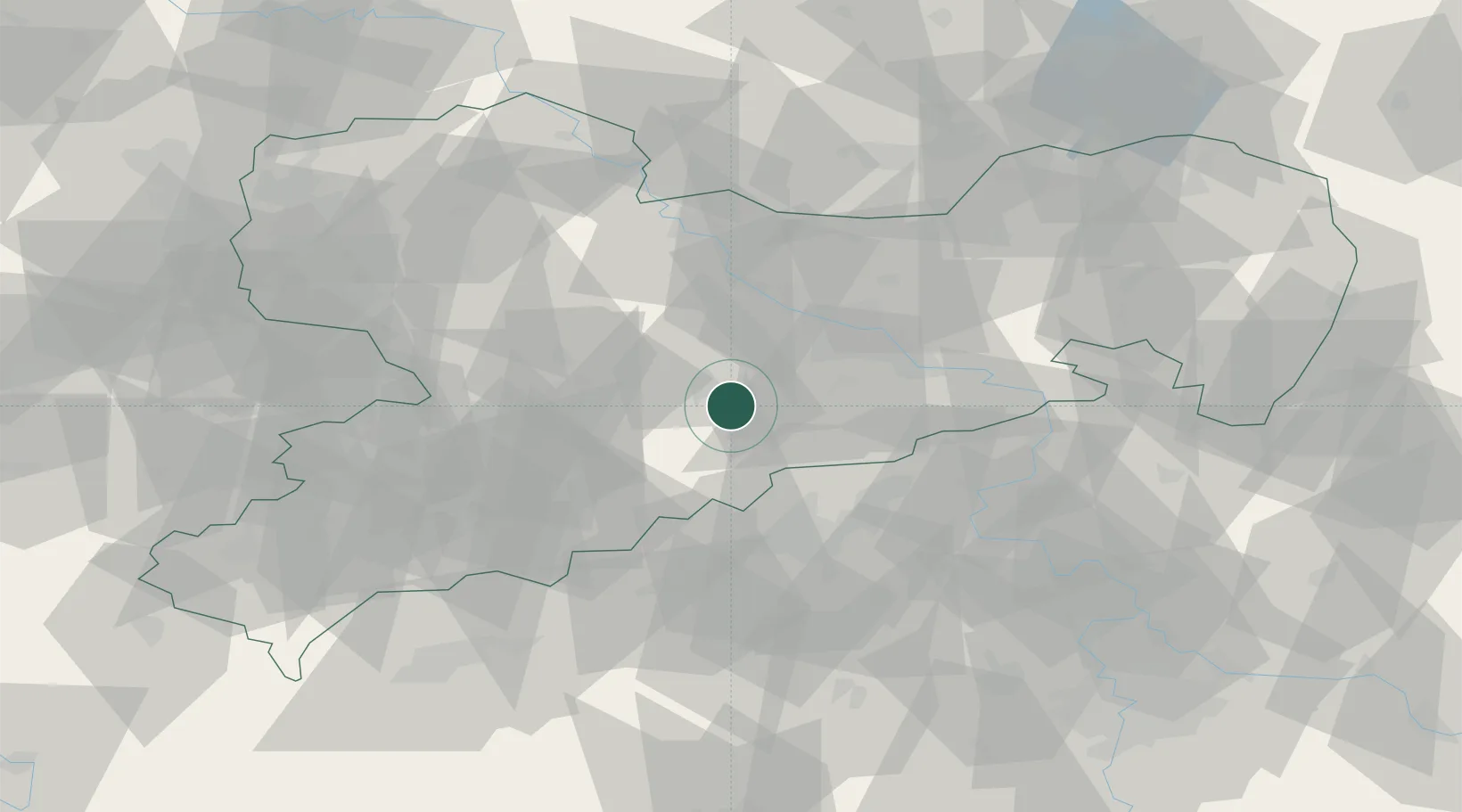
Location
Nearby Logistics Neighbours
Cities
- 1Mulda7 km
- 2Halsbrücke10 km
- 3Oberschöna11 km
- 4Grossschirma15 km
- 5Eppendorf15 km
Ports
- 1Szczecin294 km
- 2Police310 km
- 3Swinoujscie344 km
- 4Wolgast355 km
- 5Wismar362 km
Airports
- 1Dresden Airport39 km
- 2Leipzig–Altenburg Airport65 km
- 3Karlovy Vary Airport82 km
- 4Vodochody Airport100 km
- 5Holzdorf Air Base102 km
Trade Zones
DatabookThe Record of Consolidated Knowledge
Germany beyond logistics?