Transport Functions
Rail
Road
Hub Profile
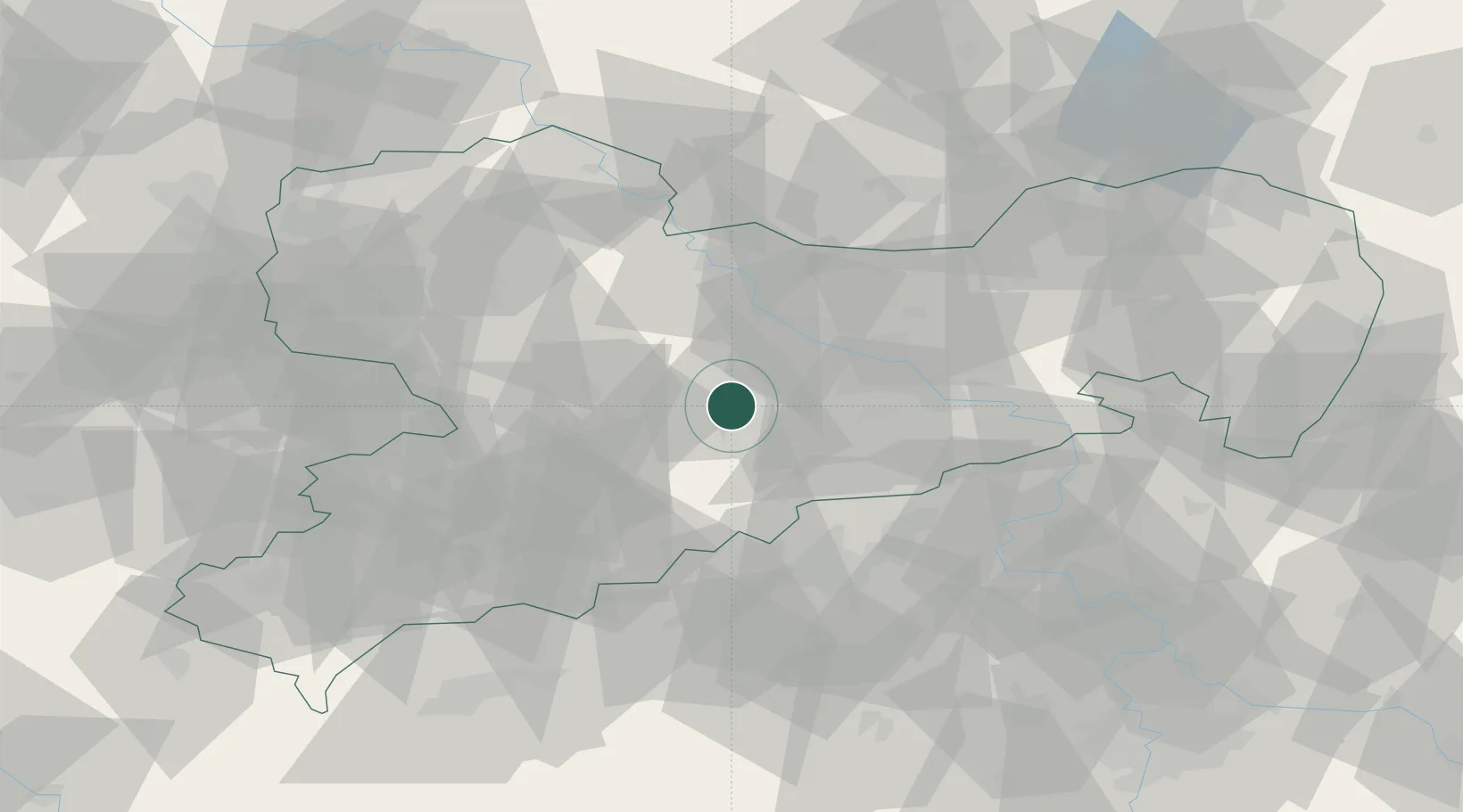
Place type
Local administrative seat
Region
Saxony
Population
3,619
Time zone
Europe/Berlin
Elevation
357 m
Location
Nearby Logistics Neighbours
Cities
- 1Grossschirma5 km
- 2Grossvoigtsberg6 km
- 3Oberschöna8 km
- 4Weissenborn/Erzgeb10 km
- 5Nossen12 km
Ports
- 1Szczecin286 km
- 2Police303 km
- 3Swinoujscie336 km
- 4Wolgast346 km
- 5Wismar352 km
Airports
- 1Dresden Airport36 km
- 2Leipzig–Altenburg Airport59 km
- 3Karlovy Vary Airport89 km
- 4Holzdorf Air Base92 km
- 5Leipzig/Halle Airport94 km
Trade Zones
DatabookThe Record of Consolidated Knowledge
Germany beyond logistics?