Transport Functions
Multimodal
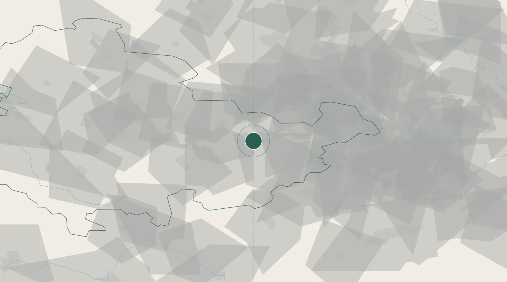
Hub Profile
Region
TH
Location
Nearby Logistics Neighbours
Cities
- 1Stadtroda6 km
- 2Münchenbernsdorf8 km
- 3Kraftsdorf9 km
- 4Löberschütz17 km
- 5Auma17 km
Airports
- 1Leipzig–Altenburg Airport51 km
- 2Hof-Plauen Airport61 km
- 3Erfurt-Weimar Airport62 km
- 4Leipzig/Halle Airport72 km
- 5Bayreuth Airport95 km
Trade Zones
DatabookThe Record of Consolidated Knowledge
Germany beyond logistics?