Transport Functions
Rail
Road
Hub Profile
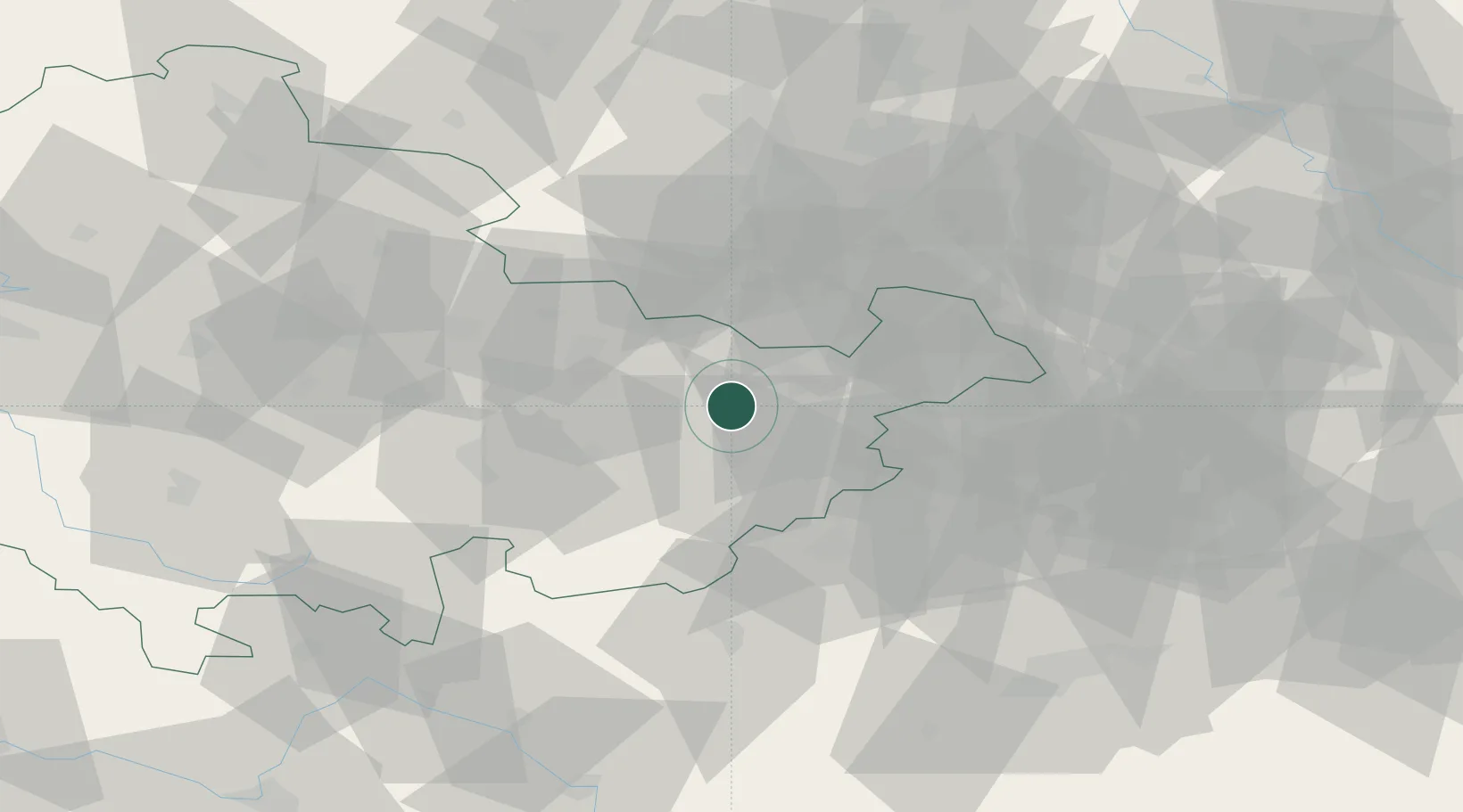
Region
TH
Location
Nearby Logistics Neighbours
Cities
- 1Kraftsdorf8 km
- 2Ottendorf bei Stadtroda8 km
- 3Weida11 km
- 4Auma13 km
- 5Hohenölsen14 km
Airports
- 1Leipzig–Altenburg Airport44 km
- 2Hof-Plauen Airport59 km
- 3Leipzig/Halle Airport70 km
- 4Erfurt-Weimar Airport71 km
- 5Bayreuth Airport95 km
Trade Zones
DatabookThe Record of Consolidated Knowledge
Germany beyond logistics?