UN/LOCODE hub · Germany
DEOLH

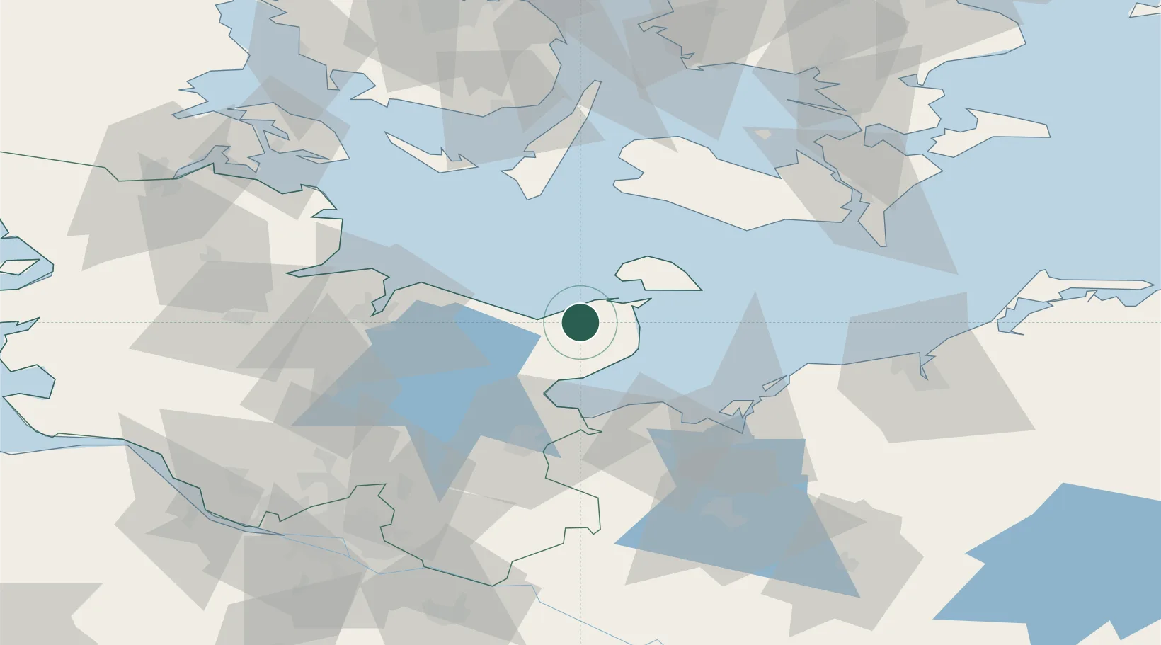
Oldenburg in Holstein

54.3000°, 10.8833°
9,940
Population
2
Transport functions

Transport Functions

Rail
Road
UN/LOCODE

Hub Profile

Place type
Local administrative seat
GeoNames
Region
Schleswig-Holstein
GeoNames
Population
9,940
GeoNames
Time zone
Europe/Berlin
GeoNames
Elevation
9 m
GeoNames

Location

Location of DEOLH
Natural Earth 10m (public domain) · Schleswig-Holstein · DEOLH · 54.30, 10.88GoogleOSMYandex

Nearby Logistics Neighbours

Cities
  1. 1Grossenbrode16 km
  2. 2Lutjenburg18 km
  3. 3Altenkrempe19 km
  4. 4Neustadt in Holstein23 km
  5. 5Malente26 km
Nearest neighbours — logibook spatial index (haversine) over the source coordinates
Ports
  1. 1Heiligenhafen10 km
  2. 2Orth20 km
  3. 3Neustadt23 km
  4. 4Lubeck-Travemunde37 km
  5. 5Lubeck48 km
Nearest neighbours — logibook spatial index (haversine) over the source coordinates
Airports
  1. 1Kiel-Holtenau Airport49 km
  2. 2Lübeck Blankensee Airport56 km
  3. 3Lolland Falster Maribo Airport57 km
  4. 4Ærø Airfield67 km
  5. 5Sydfyn (Tasinge) Airfield82 km
Nearest neighbours — logibook spatial index (haversine) over the source coordinates
Trade Zones
  1. 1Freeport of Kiel46 km
  2. 2Freeport of Cuxhaven (Freihafen Cuxhaven)160 km
  3. 3Freeport of Copenhagen- Nordhavn192 km
  4. 4Freeport of Bremerhaven (Freihafen Bremerhaven)193 km
  5. 5MTS Malmö Transport and Spedition203 km
Nearest neighbours — logibook spatial index (haversine) over the source coordinates
DatabookThe Record of Consolidated Knowledge
Germany beyond logistics?
Browse databook

All Sources

LocationsUN/LOCODE
UN/LOCODE — free
LocationsGeoNames
CC BY 4.0
Portsthe NGA World Port Index
Public domain (US gov)
AirportsOurAirports
Public domain
Trade Zonesthe World Bank SEZ database
CC BY 4.0
Trade ZonesOpen Zone Map
CC BY
← Germany locations