UN/LOCODE hub · Germany
DETJE

Lutjenburg

54.3000°, 10.6000°
2
Transport functions

Transport Functions

Port
Multimodal
UN/LOCODE

Hub Profile

Region
SH
GeoNames

Location

Location of DETJE
Natural Earth 10m (public domain) · SH · DETJE · 54.30, 10.60GoogleOSMYandex

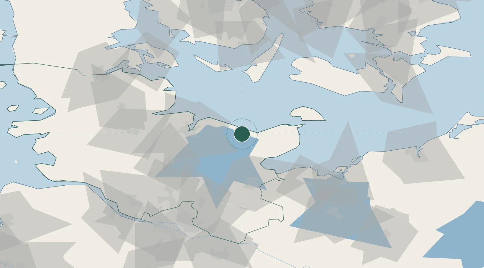
Nearby Logistics Neighbours

Cities
  1. 1Malente15 km
  2. 2Oldenburg in Holstein18 km
  3. 3Lilienthal20 km
  4. 4Altenkrempe24 km
  5. 5Schönkirchen25 km
Nearest neighbours — logibook spatial index (haversine) over the source coordinates
Ports
  1. 1Heiligenhafen26 km
  2. 2Neustadt26 km
  3. 3Kiel30 km
  4. 4Orth34 km
  5. 5Lubeck-Travemunde41 km
Nearest neighbours — logibook spatial index (haversine) over the source coordinates
Airports
  1. 1Kiel-Holtenau Airport31 km
  2. 2Lübeck Blankensee Airport56 km
  3. 3Ærø Airfield62 km
  4. 4Hohn Air Base69 km
  5. 5Lolland Falster Maribo Airport70 km
Nearest neighbours — logibook spatial index (haversine) over the source coordinates
Trade Zones
  1. 1Freeport of Kiel28 km
  2. 2Freeport of Cuxhaven (Freihafen Cuxhaven)143 km
  3. 3Freeport of Bremerhaven (Freihafen Bremerhaven)180 km
  4. 4Freeport of Copenhagen- Nordhavn203 km
  5. 5MTS Malmö Transport and Spedition216 km
Nearest neighbours — logibook spatial index (haversine) over the source coordinates
DatabookThe Record of Consolidated Knowledge
Germany beyond logistics?
Browse databook

All Sources

LocationsUN/LOCODE
UN/LOCODE — free
Portsthe NGA World Port Index
Public domain (US gov)
AirportsOurAirports
Public domain
Trade Zonesthe World Bank SEZ database
CC BY 4.0
Trade ZonesOpen Zone Map
CC BY
← Germany locations