UN/LOCODE hub · Germany
DEMAM

Malente

54.1667°, 10.5500°
10,817
Population
3
Transport functions

Transport Functions

Port
Rail
Road
UN/LOCODE

Hub Profile

Place type
Local administrative seat
GeoNames
Region
Schleswig-Holstein
GeoNames
Population
10,817
GeoNames
Time zone
Europe/Berlin
GeoNames
Elevation
32 m
GeoNames

Location

Location of DEMAM
Natural Earth 10m (public domain) · Schleswig-Holstein · DEMAM · 54.17, 10.55GoogleOSMYandex

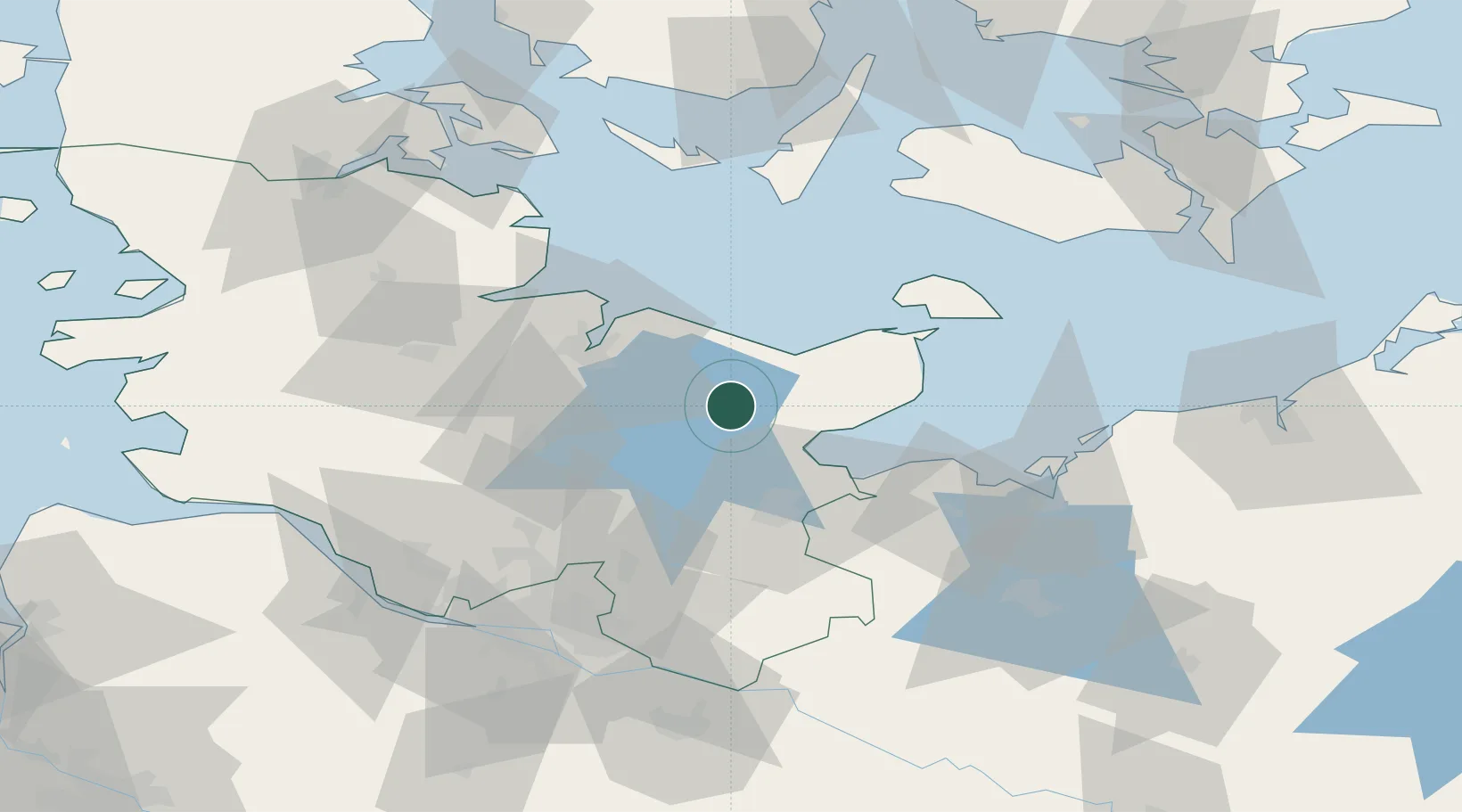
Nearby Logistics Neighbours

Cities
  1. 1Nehmten12 km
  2. 2Ascheberg (Holstein)15 km
  3. 3Lutjenburg15 km
  4. 4Ahrensboek17 km
  5. 5Ahrensbök17 km
Nearest neighbours — logibook spatial index (haversine) over the source coordinates
Ports
  1. 1Neustadt19 km
  2. 2Lubeck-Travemunde31 km
  3. 3Kiel32 km
  4. 4Lubeck33 km
  5. 5Heiligenhafen36 km
Nearest neighbours — logibook spatial index (haversine) over the source coordinates
Airports
  1. 1Kiel-Holtenau Airport35 km
  2. 2Lübeck Blankensee Airport42 km
  3. 3Hohn Air Base68 km
  4. 4Hamburg Helmut Schmidt Airport70 km
  5. 5Schleswig Air Base75 km
Nearest neighbours — logibook spatial index (haversine) over the source coordinates
Trade Zones
  1. 1Freeport of Kiel31 km
  2. 2Freeport of Cuxhaven (Freihafen Cuxhaven)135 km
  3. 3Freeport of Bremerhaven (Freihafen Bremerhaven)167 km
  4. 4Freeport of Copenhagen- Nordhavn216 km
  5. 5MTS Malmö Transport and Spedition228 km
Nearest neighbours — logibook spatial index (haversine) over the source coordinates
DatabookThe Record of Consolidated Knowledge
Germany beyond logistics?
Browse databook

All Sources

LocationsUN/LOCODE
UN/LOCODE — free
LocationsGeoNames
CC BY 4.0
Portsthe NGA World Port Index
Public domain (US gov)
AirportsOurAirports
Public domain
Trade Zonesthe World Bank SEZ database
CC BY 4.0
Trade ZonesOpen Zone Map
CC BY
← Germany locations