Transport Functions
Port
Rail
Road
Hub Profile
Place type
Populated place
Region
Schleswig-Holstein
Population
2,190
Time zone
Europe/Berlin
Elevation
-3 m
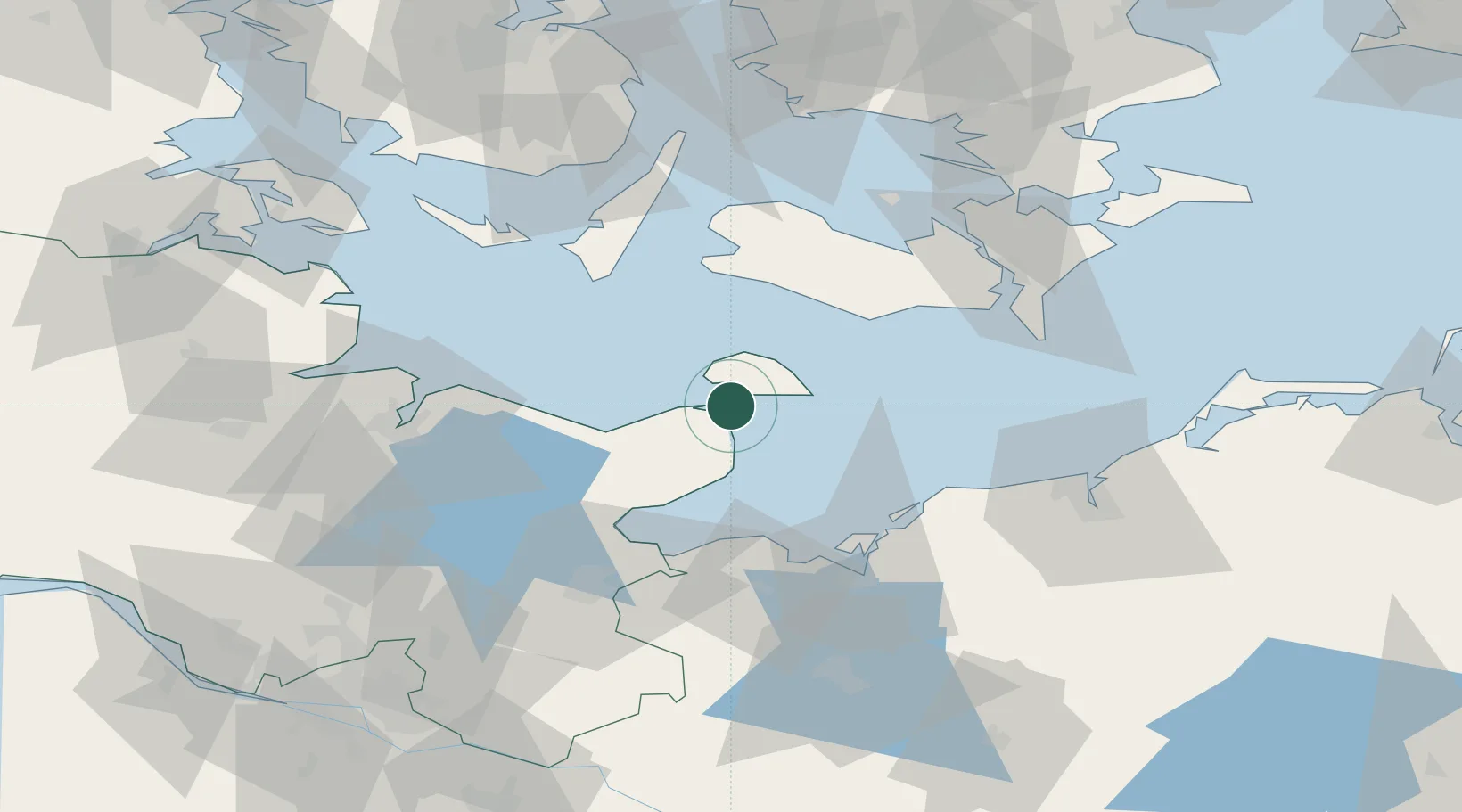
Location
Nearby Logistics Neighbours
Cities
- 1Oldenburg in Holstein16 km
- 2Altenkrempe32 km
- 3Lutjenburg33 km
- 4Rødbyhavn34 km
- 5Neustadt in Holstein36 km
Ports
- 1Heiligenhafen7 km
- 2Orth8 km
- 3Rodby Havn34 km
- 4Neustadt36 km
- 5Lubeck-Travemunde48 km
Airports
- 1Lolland Falster Maribo Airport42 km
- 2Kiel-Holtenau Airport61 km
- 3Ærø Airfield66 km
- 4Lübeck Blankensee Airport69 km
- 5Sydfyn (Tasinge) Airfield78 km
Trade Zones
DatabookThe Record of Consolidated Knowledge
Germany beyond logistics?