Small airport · Denmark

Sydfyn (Tasinge) AirfieldEKST
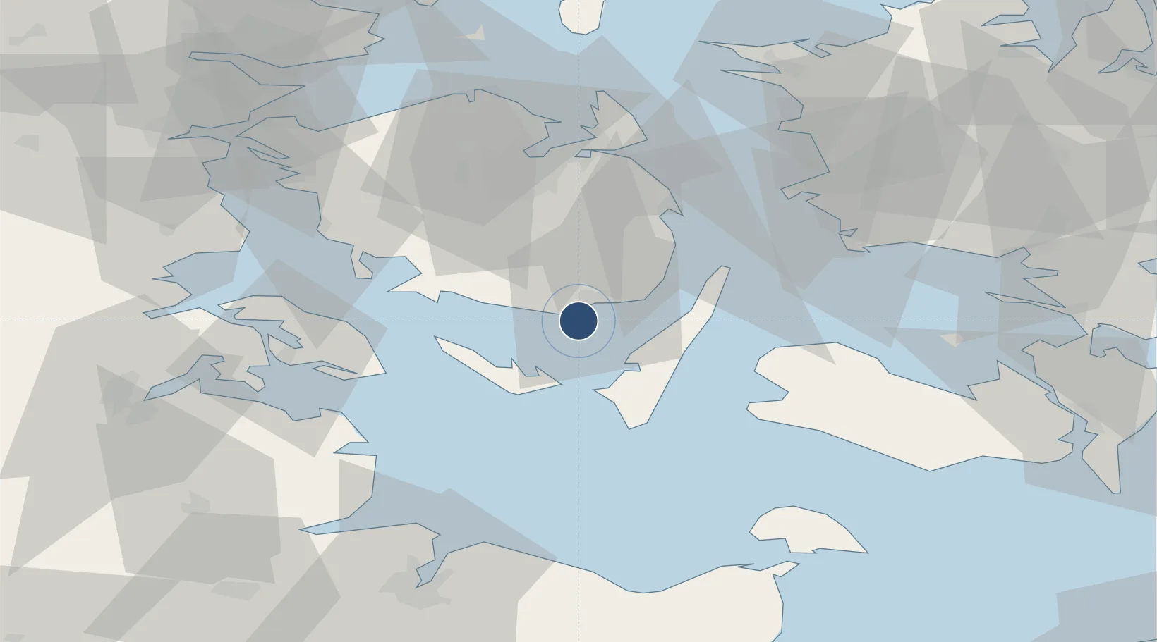
55.0166°, 10.5633°
2,953 ft
Longest runway
1
Runways
7 ft
Elevation

Runway & Layout

Sydfyn (Tasinge) Airfield runway & taxiway layout
Runway & taxiway layout — OpenStreetMap (ODbL) / OurAirports

Runways · 1

RunwayDimensions SurfaceTrue headingLit
11/29 2,953 × —ft Unknown
OurAirports

Airport Specifications

ICAO code
EKST
OurAirports
Airport class
Small airport
OurAirports
Scheduled service
Yes
OurAirports
Runway surface
Unknown
OurAirports
Served city
Svendborg
OurAirports

Location

Location of EKST
Natural Earth 10m (public domain) · Syddanmark · EKST · 55.02, 10.56GoogleOSMYandex

Nearby Logistics Neighbours

Airports
  1. 1Ærø Airfield20 km
  2. 2Sønderborg Airport50 km
  3. 3Odense Hans Christian Andersen Airport53 km
  4. 4Lolland Falster Maribo Airport66 km
  5. 5Kiel-Holtenau Airport76 km
Nearest neighbours — logibook spatial index (haversine) over the source coordinates
Cities
  1. 1Troense6 km
  2. 2Oure16 km
  3. 3Avernak By19 km
  4. 4Lundeborg19 km
  5. 5Ryslinge26 km
Nearest neighbours — logibook spatial index (haversine) over the source coordinates
Ports
  1. 1Svendborg7 km
  2. 2Rudkobing12 km
  3. 3Marstal18 km
  4. 4Faborg22 km
  5. 5Nyborg37 km
Nearest neighbours — logibook spatial index (haversine) over the source coordinates
Trade Zones
  1. 1Freeport of Kiel80 km
  2. 2Freeport of Copenhagen- Nordhavn150 km
  3. 3MTS Malmö Transport and Spedition173 km
  4. 4Freeport of Cuxhaven (Freihafen Cuxhaven)185 km
  5. 5Freeport of Bremerhaven (Freihafen Bremerhaven)244 km
Nearest neighbours — logibook spatial index (haversine) over the source coordinates
DatabookThe Record of Consolidated Knowledge
Denmark beyond logistics?
Browse databook

All Sources

AirportsOurAirports
Public domain
Portsthe NGA World Port Index
Public domain (US gov)
LocationsUN/LOCODE
UN/LOCODE — free
Trade Zonesthe World Bank SEZ database
CC BY 4.0
Trade ZonesOpen Zone Map
CC BY
InfrastructureOpenStreetMap
ODbL 1.0
← Denmark airports