UN/LOCODE hub · Germany
DEOKG

Ostseebad Kuhlungsborn

54.1500°, 11.7500°
2
Transport functions

Transport Functions

Port
Road
UN/LOCODE

Hub Profile

Region
MV
GeoNames

Location

Location of DEOKG
Natural Earth 10m (public domain) · MV · DEOKG · 54.15, 11.75GoogleOSMYandex

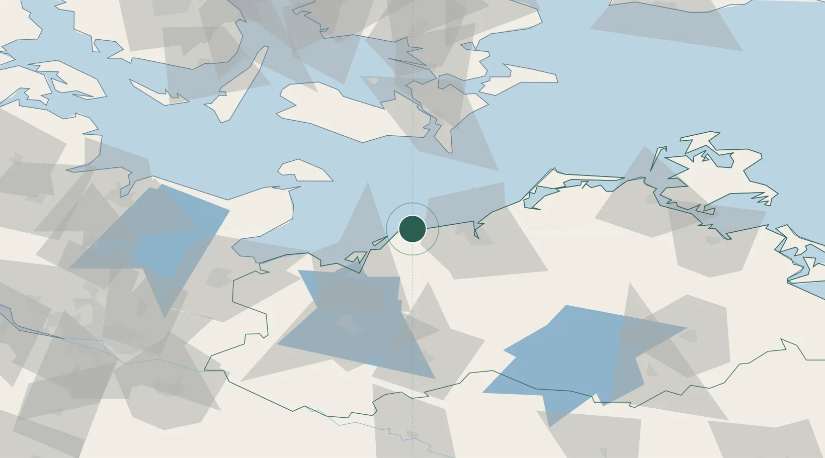
Nearby Logistics Neighbours

Cities
  1. 1Rerik10 km
  2. 2Parkentin17 km
  3. 3Warnemünde22 km
  4. 4Rostock26 km
  5. 5Kessin30 km
Nearest neighbours — logibook spatial index (haversine) over the source coordinates
Ports
  1. 1Rostock26 km
  2. 2Wismar33 km
  3. 3Heiligenhafen55 km
  4. 4Orth56 km
  5. 5Nysted58 km
Nearest neighbours — logibook spatial index (haversine) over the source coordinates
Airports
  1. 1Rostock-Laage Airport43 km
  2. 2Lolland Falster Maribo Airport64 km
  3. 3Lübeck Blankensee Airport78 km
  4. 4Kiel-Holtenau Airport107 km
  5. 5Ærø Airfield114 km
Nearest neighbours — logibook spatial index (haversine) over the source coordinates
Trade Zones
  1. 1Freeport of Kiel104 km
  2. 2Swinoujscie Duty Free Zone167 km
  3. 3Freeport of Copenhagen- Nordhavn182 km
  4. 4MTS Malmö Transport and Spedition183 km
  5. 5Szczecin Duty Free Zone202 km
Nearest neighbours — logibook spatial index (haversine) over the source coordinates
DatabookThe Record of Consolidated Knowledge
Germany beyond logistics?
Browse databook

All Sources

LocationsUN/LOCODE
UN/LOCODE — free
Portsthe NGA World Port Index
Public domain (US gov)
AirportsOurAirports
Public domain
Trade Zonesthe World Bank SEZ database
CC BY 4.0
Trade ZonesOpen Zone Map
CC BY
← Germany locations