Channel & Berth Profile
Pilotage, Tugs & Services
Pilotage availableYES
Pilotage advisableYES
Local assistanceYES
Tug assistanceNO
Salvage tugsNO
Potable waterYES
Facilities & Capabilities
Container—
Ro-Ro—
Liquid bulk—
Dry bulk—
Oil terminal—
Break bulk—
Dry dock—
RepairsNO
Bunkering—
Rail linkYES
Dangerous cargo—
ISPS security—
Harbour Specifications
Harbour size
Very Small
Harbour type
Coastal (Breakwater)
Shelter
Fair
Water body
Baltic Sea; North Atlantic Ocean
Overhead limit
Yes
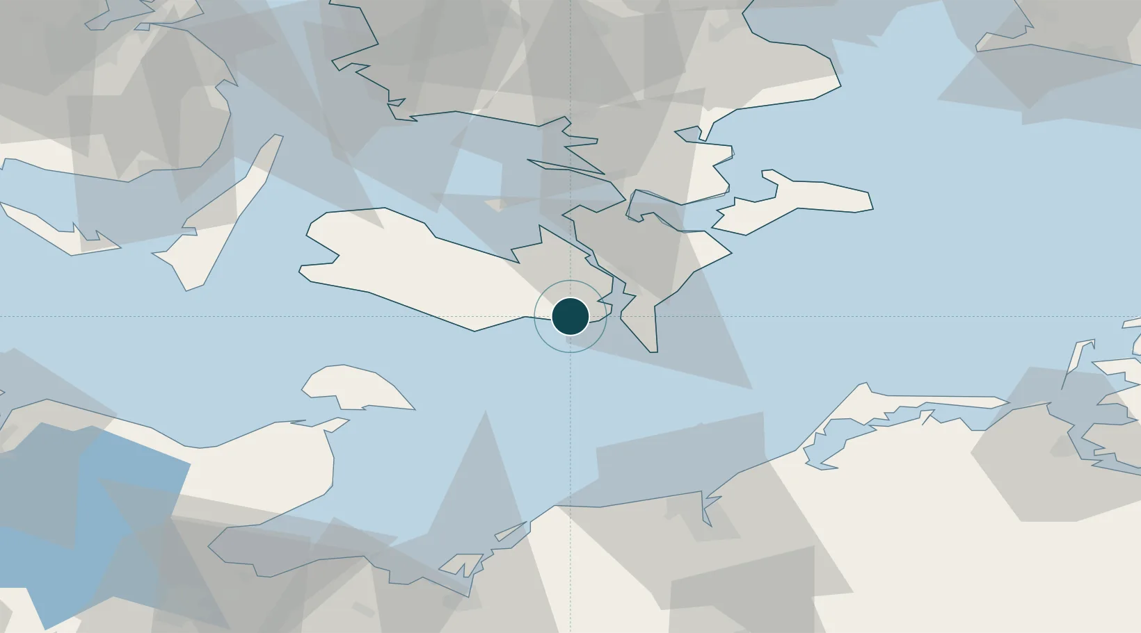
Location
Nearby Logistics Neighbours
Ports
- 1Nykobing14 km
- 2Sakskobing16 km
- 3Bandholm24 km
- 4Rodby Havn25 km
- 5Stubbekobing32 km
Cities
- 1Kettinge4 km
- 2Toreby10 km
- 3Væggerløse13 km
- 4Reersoe15 km
- 5Nykøbing Falster15 km
Airports
- 1Lolland Falster Maribo Airport19 km
- 2Sydfyn (Tasinge) Airfield84 km
- 3Ærø Airfield85 km
- 4Ringsted Airfield85 km
- 5Rostock-Laage Airport90 km
Trade Zones
DatabookThe Record of Consolidated Knowledge
Denmark beyond logistics?